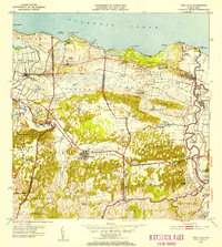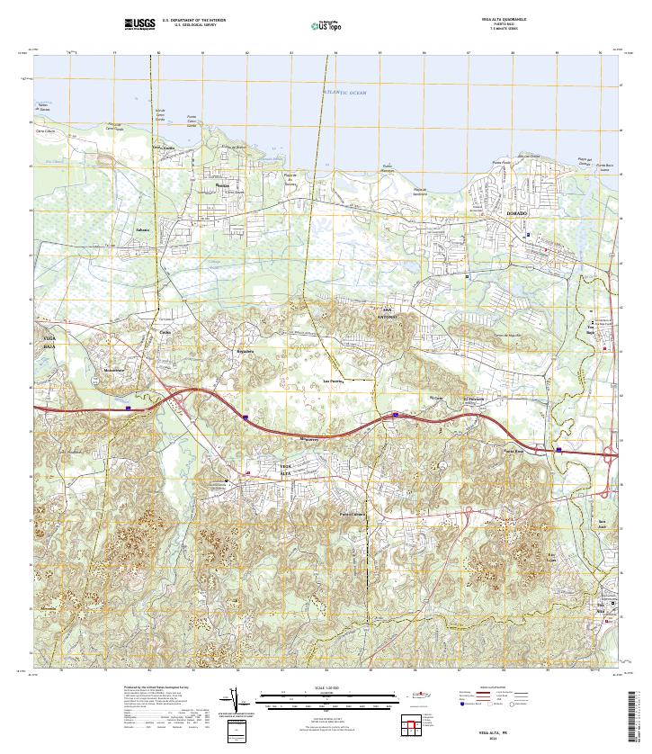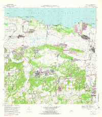
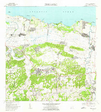
1969 Map of Vega Alta
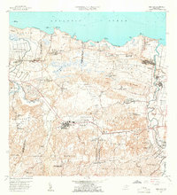
USGS Topo · Published 1983About this map
The coastal plains and limestone hills of northern Puerto Rico are documented here, centered on the urban core of Vega Alta and the nearby Central San Vicente. The landscape shows a region in transition, where traditional sugar processing at the central meets modern infrastructure like the Aeropuerto de Dorado and multiple coastal Campo de Golf facilities. To the north, the Atlantic shoreline is defined by features like Punta Cerro Gordo and the Laguna Mata Redonda, while the southern interior rises into the mogotes of Cerros de Higuillar. Local life is anchored by institutions such as the Iglesia del Sagrada Corazón and several rural schools including Escuela Candelaria Afuera. The mapping captures the dense network of insular roads and barrios that define the San Juan periphery during the late twentieth century.
Find a feature on this map
99 named features on this map. Tap any name to fly to it.
Don’t see what you’re looking for? This feature index may not catch every label — zoom into the map to look around manually.
Map Details
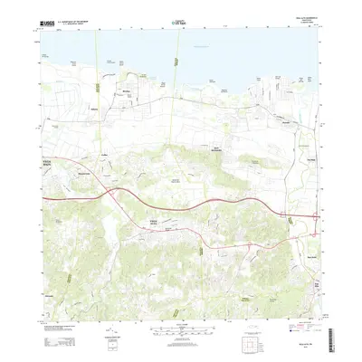
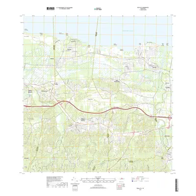
Editions of this 1969 Vega Alta Map
3 editions found

Historical Maps of Dorado Through Time
8 maps found