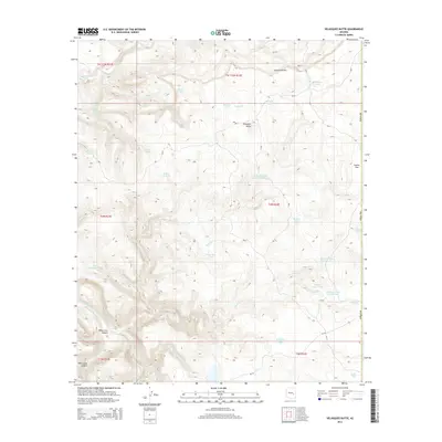
2014 Map of Velasquez Butte
USGS Topo · Published 2014About this map
Velasquez Butte rises as a prominent landmark in this high-altitude landscape where the White River and Black River define the local topography. This 2014 survey documents a critical network of natural water sources and man-made tanks essential for land management and ranching in Navajo County. Features such as Benedict Spring, Navajo Bill Spring, and Eleven-mile Spring dot the terrain, alongside numerous livestock watering points like the Velasquez Tank and Pine Flat Tank. The presence of several Bureau of Indian Affairs routes, including Bia-2 and Bia-5, indicates the area's importance within tribal lands. Significant landforms like the Sevenmile Rim and White Cow Canyon provide a detailed look at the drainage patterns of Nash Cr and Priebe Cr, while Indian Flat marks one of the few level expanses in this complex system of canyons and ridges.
Find a feature on this map
45 named features on this map. Tap any name to fly to it.
Don’t see what you’re looking for? This feature index may not catch every label — zoom into the map to look around manually.
Map Details
Editions of this 2014 Velasquez Butte Map
This is the sole edition of this map. No revisions or reprints were ever made.
Other maps of this area

1954 · Clifton
USGS Topo · 1:250,000

1954 · Mesa
USGS Topo · 1:250,000

1957 · Mesa
USGS Topo · 1:250,000

1957 · Clifton
USGS Topo · 1:250,000

1958 · Clifton
USGS Topo · 1:250,000

1958 · Mesa
USGS Topo · 1:250,000

1960 · Mesa
USGS Topo · 1:250,000

1962 · Clifton
USGS Topo · 1:250,000

1964 · Mesa
USGS Topo · 1:250,000

1966 · Georges Butte
USGS Topo · 1:24,000