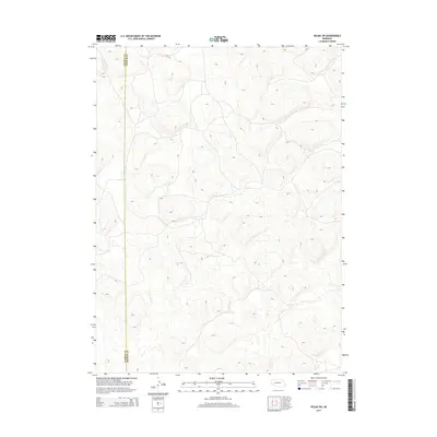
2014 Map of Velma SW
USGS Topo · Published 2014About this map
Sandhills topography dominates this landscape along the border of Garden Co and Arthur Co. The terrain is characterized by a dense network of dunes and depressions, typical of this Nebraska region, where the lack of surface water and infrastructure highlights the area's specialized grazing use. The boundary between the two counties is the most prominent human-defined feature, cutting through a landscape primarily shaped by elevation and natural drainage patterns. While largely devoid of named settlements or developments, the map provides a precise record of the physical geography and the administrative line separating these two rural jurisdictions.
Find a feature on this map
1 named feature on this map. Tap any name to fly to it.
Don’t see what you’re looking for? This feature index may not catch every label — zoom into the map to look around manually.
Map Details
Editions of this 2014 Velma SW Map
This is the sole edition of this map. No revisions or reprints were ever made.
Other maps of this area

1897 · Ogallala
USGS Topo · 1:125,000

1900 · Chappell
USGS Topo · 1:125,000

1900 · Ogallala
USGS Topo · 1:125,000

1949 · Rackett
USGS Topo · 1:62,500

1950 · Velma
USGS Topo · 1:62,500

1951 · Rackett
USGS Topo · 1:62,500

1954 · Scottsbluff
USGS Topo · 1:250,000

1954 · North Platte
USGS Topo · 1:250,000

1956 · North Platte
USGS Topo · 1:250,000

1957 · North Platte
USGS Topo · 1:250,000