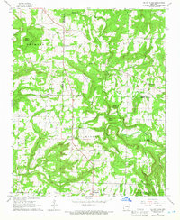
1965 Map of Velvet Ridge
USGS Topo · Published 1966About this map
Velvet Ridge and Denmark anchor this mid-1960s survey along the White and Jackson County line, where the landscape transitions from creek-side farming to prominent high points. Local genealogy is well-documented through several family-named landmarks and burial grounds, including Bethlehem Cem, Smith Cem, and Morris Cem. The terrain is characterized by numerous named peaks such as Buzzard Roost Mountain, Round Mountain, and Short Mountain, while a Lookout Tower and Radio Tower overlook the valley from the heights above Sugar Creek.
Find a feature on this map
45 named features on this map. Tap any name to fly to it.
Don’t see what you’re looking for? This feature index may not catch every label — zoom into the map to look around manually.
Map Details
Editions of this 1965 Velvet Ridge Map
2 editions found
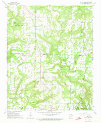
Other maps of this area

1890 · Batesville
USGS Topo · 1:125,000

1891 · Batesville
USGS Topo · 1:125,000

1935 · Newport
USGS Topo · 1:62,500

1935 · Augusta
USGS Topo · 1:62,500

1935 · Bald Knob
USGS Topo · 1:62,500

1953 · Memphis
USGS Topo · 1:250,000

1956 · Memphis
USGS Topo · 1:250,000

1957 · Augusta
USGS Topo · 1:62,500
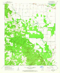
1962 · Olyphant
USGS Topo · 1:24,000
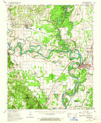
1962 · Newport
USGS Topo · 1:62,500