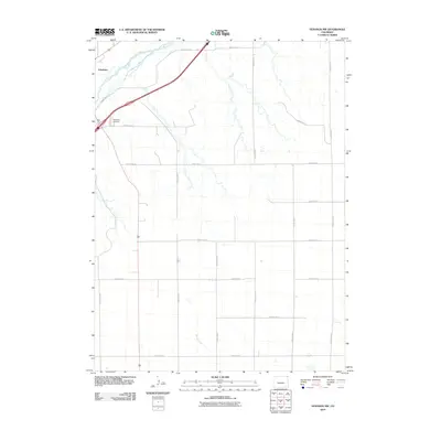
2010 Map of Venango NW
USGS Topo · Published 2010About this map
Julesburg sits at the western edge of this High Plains landscape, where the braided channels of the South Platte River cut across the northwest corner. This 2010 survey illustrates the rigid section-line grid that organizes the agricultural territory of Sedgwick County, defined by an extensive network of numbered roads such as County Rd 32 and County Rd 30. The transition from the river valley to the higher tablelands is marked by seasonal drainages like Spring Creek, which meanders through the central southern portion of the quadrangle. For those researching local heritage, the Julesburg Cemetery is a prominent landmark situated just east of the main settlement, serving as a significant genealogical anchor for the region. The map captures a moment of modern rural infrastructure before further shifts in land use or water management affected the local hydrology and transport patterns.
Find a feature on this map
19 named features on this map. Tap any name to fly to it.
Don’t see what you’re looking for? This feature index may not catch every label — zoom into the map to look around manually.
Map Details
Editions of this 2010 Venango NW Map
This is the sole edition of this map. No revisions or reprints were ever made.
Other maps of this area

1900 · Chappell
USGS Topo · 1:125,000

1952 · Julesburg SE
USGS Topo · 1:24,000

1953 · Julesburg
USGS Topo · 1:24,000

1954 · Sterling
USGS Topo · 1:250,000

1954 · Scottsbluff
USGS Topo · 1:250,000

1958 · Scottsbluff
USGS Topo · 1:250,000

1958 · Sterling
USGS Topo · 1:250,000

1961 · Barton
USGS Topo · 1:24,000

1961 · Big Springs
USGS Topo · 1:24,000

1961 · Chappell SE
USGS Topo · 1:24,000