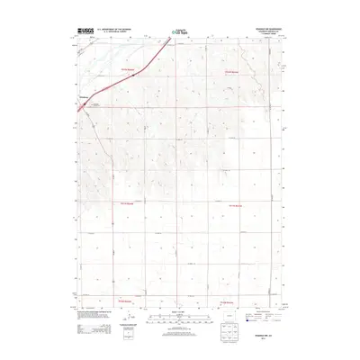
2013 Map of Venango NW
USGS Topo · Published 2013About this map
Julesburg serves as the focal point for this Sedgwick County region, situated along the southern banks of the S Platte River as it winds toward the Nebraska border. The landscape is defined by the agricultural layout of the high plains, where irrigation infrastructure like the State Line Ditch supports the surrounding farmland. To the west of the town center lies the Julesburg Hillside Cem, a significant site for local genealogical research and historical study. The survey documents the intricate grid of county roads, such as Co Road 55 and Co Road 30, that connect isolated farmsteads across the townships of t011n r044w and t012n r043w. In the southern reaches, the drainage of Spring Creek cuts through the terrain, illustrating the natural watercourses that shaped the early settlement patterns of this northeast Colorado corridor.
Find a feature on this map
29 named features on this map. Tap any name to fly to it.
Don’t see what you’re looking for? This feature index may not catch every label — zoom into the map to look around manually.
Map Details
Editions of this 2013 Venango NW Map
This is the sole edition of this map. No revisions or reprints were ever made.
Other maps of this area

1900 · Chappell
USGS Topo · 1:125,000

1952 · Julesburg SE
USGS Topo · 1:24,000

1953 · Julesburg
USGS Topo · 1:24,000

1954 · Sterling
USGS Topo · 1:250,000

1954 · Scottsbluff
USGS Topo · 1:250,000

1958 · Scottsbluff
USGS Topo · 1:250,000

1958 · Sterling
USGS Topo · 1:250,000

1961 · Barton
USGS Topo · 1:24,000

1961 · Big Springs
USGS Topo · 1:24,000

1961 · Chappell SE
USGS Topo · 1:24,000