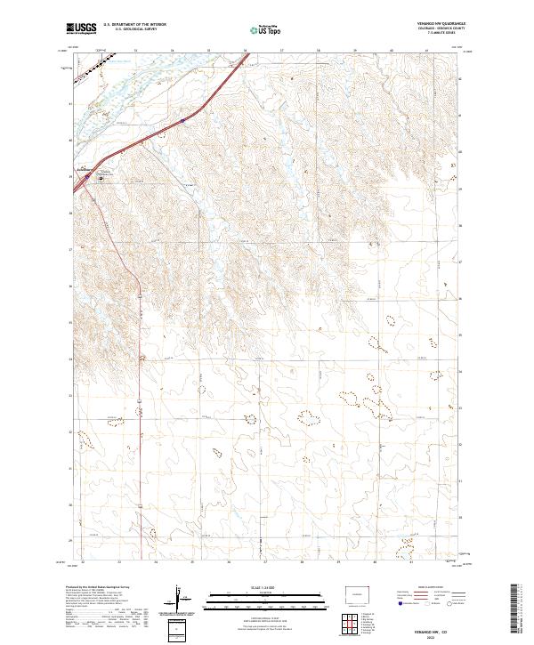
2022 Map of Venango NW
USGS Topo · Published 2022About this map
Julesburg sits at the western edge of this agricultural landscape in Sedgwick County, where the plains meet the riparian corridor of the South Platte River. The map reveals a highly structured grid of county roads, such as Co RD 45 and Co RD 30, which manage the movement of water and transport through the river valley. Notable for local history and genealogy, the Julesburg Hillside Cem is a prominent landmark just east of the main town site. Further south, the intermittent flow of Spring Cr meanders through the township boundaries, illustrating the seasonal nature of the high plains drainage systems. The presence of the State Line Ditch near the northern border emphasizes the critical role of irrigation and water rights in this borderland territory, where engineering and agriculture are inextricably linked.
Find a feature on this map
27 named features on this map. Tap any name to fly to it.
Don’t see what you’re looking for? This feature index may not catch every label — zoom into the map to look around manually.
Map Details
Editions of this 2022 Venango NW Map
This is the sole edition of this map. No revisions or reprints were ever made.
Other maps of this area

1900 · Chappell
USGS Topo · 1:125,000

1952 · Julesburg SE
USGS Topo · 1:24,000

1953 · Julesburg
USGS Topo · 1:24,000

1954 · Sterling
USGS Topo · 1:250,000

1954 · Scottsbluff
USGS Topo · 1:250,000

1958 · Scottsbluff
USGS Topo · 1:250,000

1958 · Sterling
USGS Topo · 1:250,000

1961 · Barton
USGS Topo · 1:24,000

1961 · Big Springs
USGS Topo · 1:24,000

1961 · Chappell SE
USGS Topo · 1:24,000