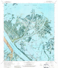
1971 Map of Venice
USGS Topo · Published 1984About this map
Venice and Boothville anchor the narrow sliver of habitable land along the Mississippi River in this 1971 orthophotomap. The landscape is defined by the heavy footprint of the petroleum industry, with numerous sludge pits, pipelines, and offshore platforms scattered across the Block 47 Oil and Gas Field and Romere Pass Oil and Gas Field. This industrial infrastructure coexists with the sprawling wetlands of the Delta National Wildlife Refuge, where intricate waterways like Buras Bayou and Long Island Bayou weave through the marsh. The intricate network of passes, including Tiger Pass, Main Pass, and Baptiste Collette Bayou, illustrates the complex hydrologic system at the river's end. For genealogists and local historians, the map preserves the location of the Full Gospel Ch, a local cemetery, and small outposts such as Adolph Camp and Collete.
Find a feature on this map
53 named features on this map. Tap any name to fly to it.
Don’t see what you’re looking for? This feature index may not catch every label — zoom into the map to look around manually.
Map Details
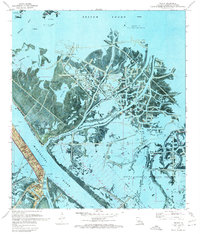
Editions of this 1971 Venice Map
2 editions found
Other maps of this area

1893 · East Delta
USGS Topo · 1:62,500

1893 · Forts
USGS Topo · 1:62,500

1893 · West Delta
USGS Topo · 1:62,500

1935 · Taylor Pass
USGS Topo · 1:31,680

1946 · Pass Tante Phine
USGS Topo · 1:31,680

1947 · Pass A Loutre West
USGS Topo · 1:31,680

1947 · Venice
USGS Topo · 1:31,680

1947 · Fort St. Philip
USGS Topo · 1:31,680

1947 · Main Pass
USGS Topo · 1:31,680

1948 · Forts
USGS Topo · 1:62,500