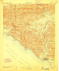
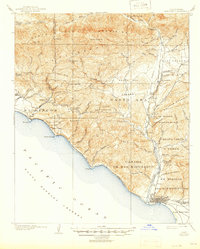
1904 Map of Ventura
USGS Topo · Published 1910About this map
Coastal canyons and the southern slopes of the Santa Barbara National Forest characterize this early twentieth-century coastal landscape. The survey captures Ventura at a pivotal stage of growth, showing the grid-like street development near the shoreline and the Southern Pacific rail line following the coast toward Seacliff and Punta Gorda. Large land grants and ranchos such as Ex Mission San Buenaventura and Canada De San Miguelito still dominate the rural topography, reflecting the area's transition from Spanish-era tracts to American settlement.
Find a feature on this map
74 named features on this map. Tap any name to fly to it.
Don’t see what you’re looking for? This feature index may not catch every label — zoom into the map to look around manually.
Map Details
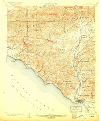
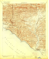
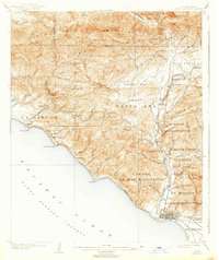
Editions of this 1904 Ventura Map
6 editions found
Other maps of this area

1902 · Santa Ynez
USGS Topo · 1:125,000

1903 · Santa Paula
USGS Topo · 1:62,500

1903 · Mt. Pinos
USGS Topo · 1:125,000

1904 · Ventura
USGS Topo · 1:62,500

1904 · Hueneme
USGS Topo · 1:62,500

1905 · Santa Ynez
USGS Topo · 1:125,000

1941 · Ventura
USGS Topo · 1:62,500

1942 · Santa Paula
USGS Topo · 1:62,500

1942 · Hueneme
USGS Topo · 1:62,500

1942 · Wheeler Springs
USGS Topo · 1:24,000