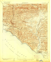
1904 Map of Ventura
USGS Topo · Published 1921About this map
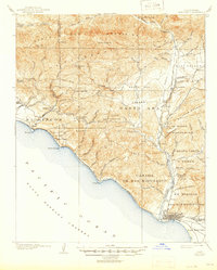
The Ventura river valley and the steep Santa Ynez Mountains define the landscape of this early twentieth-century survey. Along the coast, the Southern Pacific railroad hugs the shoreline through Seacliff and Punta Gorda, connecting the coastal ranchos and settlements to the developing port. Inland, the map reveals a network of canyons and valleys, including the Ojai and Santa Ana Valley, where small communities like Matilija and Oakview are established near the Ventura River.
Find a feature on this map
73 named features on this map. Tap any name to fly to it.
Don’t see what you’re looking for? This feature index may not catch every label — zoom into the map to look around manually.
Map Details
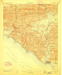
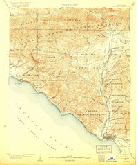
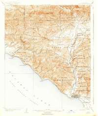
Editions of this 1904 Ventura Map
6 editions found
Other maps of this area

1902 · Santa Ynez
USGS Topo · 1:125,000

1903 · Santa Paula
USGS Topo · 1:62,500

1903 · Mt. Pinos
USGS Topo · 1:125,000

1904 · Ventura
USGS Topo · 1:62,500

1904 · Hueneme
USGS Topo · 1:62,500

1905 · Santa Ynez
USGS Topo · 1:125,000

1941 · Ventura
USGS Topo · 1:62,500

1942 · Santa Paula
USGS Topo · 1:62,500

1942 · Hueneme
USGS Topo · 1:62,500

1942 · Wheeler Springs
USGS Topo · 1:24,000