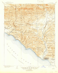
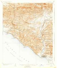
1904 Map of Ventura
USGS Topo · Published 1946About this map
The coastal shelf and deep canyons of Southern California are documented here just after the turn of the century by topographer A.H. Sylvester. The city of Ventura sits at the mouth of the Ventura River, which serves as a vital corridor leading north through the Santa Ana Valley toward the Ojai Valley. This era shows the Southern Pacific railroad hugging the shoreline past Seacliff and Punta Gorda, providing a narrow transportation link between the rising coastal towns and the interior.
Find a feature on this map
82 named features on this map. Tap any name to fly to it.
Don’t see what you’re looking for? This feature index may not catch every label — zoom into the map to look around manually.
Map Details
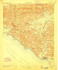
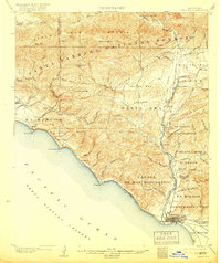
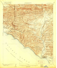
Editions of this 1904 Ventura Map
6 editions found
Other maps of this area

1902 · Santa Ynez
USGS Topo · 1:125,000

1903 · Santa Paula
USGS Topo · 1:62,500

1903 · Mt. Pinos
USGS Topo · 1:125,000

1904 · Ventura
USGS Topo · 1:62,500

1904 · Hueneme
USGS Topo · 1:62,500

1905 · Santa Ynez
USGS Topo · 1:125,000

1941 · Ventura
USGS Topo · 1:62,500

1942 · Santa Paula
USGS Topo · 1:62,500

1942 · Hueneme
USGS Topo · 1:62,500

1942 · Wheeler Springs
USGS Topo · 1:24,000