
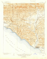
1904 Map of Ventura
USGS Topo · Published 1904About this map
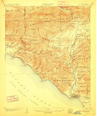
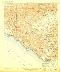
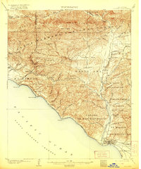
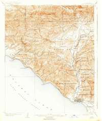
Ventura and the Ojai Valley are depicted here during a time of early development, prior to the large-scale suburban expansion of Southern California. The coastal reach from Rincon Pt down to Pitas Pt is traced by the Southern Pacific RR, showing the rail line's foundational role in connecting these seaside settlements. Inland, the terrain is dominated by the Santa Barbara Forest Reserve and the complex drainage systems of West Fork Matilija Creek. The map provides significant detail on old land grants and partitions such as Ex Mission San Buenaventura and Canada de San Miguelito, reflecting the region's transition from Spanish ranchos to organized townships. Remote locales like Vickers Hot Springs and high points like White Ledge Pk illustrate the era's balance between nascent tourism and the wild backcountry of the Sulphur Mountain range.
Find a feature on this map
82 named features on this map. Tap any name to fly to it.
Don’t see what you’re looking for? This feature index may not catch every label — zoom into the map to look around manually.
Map Details
Editions of this 1904 Ventura Map
6 editions found
Other maps of this area

1902 · Santa Ynez
USGS Topo · 1:125,000

1903 · Santa Paula
USGS Topo · 1:62,500

1903 · Mt. Pinos
USGS Topo · 1:125,000

1904 · Hueneme
USGS Topo · 1:62,500

1905 · Santa Ynez
USGS Topo · 1:125,000

1941 · Ventura
USGS Topo · 1:62,500

1942 · Santa Paula
USGS Topo · 1:62,500

1942 · Hueneme
USGS Topo · 1:62,500

1942 · Wheeler Springs
USGS Topo · 1:24,000

1943 · Hueneme
USGS Topo · 1:62,500