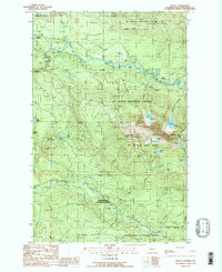
1989 Map of Verlot
USGS Topo · Published 1989About this map
The Robe Valley serves as the primary corridor for human activity in this mountainous region of the North Cascades, where the South Fork Stillaguamish River flows through the northern reaches of the map. Small settlements like Verlot and Robe are concentrated along this river valley, which also features several Quarries and a Gravel Pit, suggesting the importance of resource extraction to the local economy.
Find a feature on this map
41 named features on this map. Tap any name to fly to it.
Don’t see what you’re looking for? This feature index may not catch every label — zoom into the map to look around manually.
Map Details
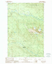
Editions of this 1989 Verlot Map
2 editions found
Other maps of this area

1899 · Stillaguamish
USGS Topo · 1:125,000

1901 · Stilaguamish
USGS Topo · 1:125,000

1921 · Sultan
USGS Topo · 1:125,000

1923 · Sultan
USGS Topo · 1:125,000

1955 · Concrete
USGS Topo · 1:250,000

1956 · Monroe
USGS Topo · 1:62,500

1956 · Granite Falls
USGS Topo · 1:62,500

1957 · Silverton
USGS Topo · 1:62,500

1957 · Index
USGS Topo · 1:62,500

1957 · Wenatchee
USGS Topo · 1:250,000