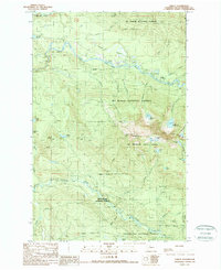
1989 Map of Verlot
USGS Topo · Published 1989About this map
South Fork Stillaguamish River cuts through the northern reaches of this territory, framing the settlement of Robe and the mountain outpost of Verlot. This late-1980s landscape is defined by its intersections of heavy timber and managed recreation, where the Mt Baker National Forest meets the Mt Pilchuck State Forest. A high concentration of alpine water bodies, including Lake Twentytwo, Heather Lake, and Bathtub Lakes, dot the high elevations surrounding Mt Pilchuck. The presence of a Lookout Tower and a Fire Station indicates the active management of these forest lands. Infrastructure for resource extraction is visible through numerous Quarry and Quarries locations, while the southern portion of the map transitions into the Snoqualmie National Forest along the upper Pilchuck River.
Find a feature on this map
48 named features on this map. Tap any name to fly to it.
Don’t see what you’re looking for? This feature index may not catch every label — zoom into the map to look around manually.
Map Details
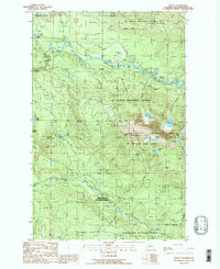
Editions of this 1989 Verlot Map
2 editions found
Other maps of this area

1899 · Stillaguamish
USGS Topo · 1:125,000

1901 · Stilaguamish
USGS Topo · 1:125,000

1921 · Sultan
USGS Topo · 1:125,000

1923 · Sultan
USGS Topo · 1:125,000

1955 · Concrete
USGS Topo · 1:250,000

1956 · Monroe
USGS Topo · 1:62,500

1956 · Granite Falls
USGS Topo · 1:62,500

1957 · Silverton
USGS Topo · 1:62,500

1957 · Index
USGS Topo · 1:62,500

1957 · Wenatchee
USGS Topo · 1:250,000