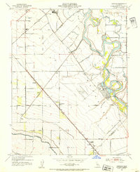
1952 Map of Vernalis
USGS Topo · Published 1954About this map
El Pescadero (Grimes) Grant dominates this landscape along the San Joaquin riverfront during the early 1950s, revealing a region defined by complex water management and transportation. The map captures the significant presence of the Hetch Hetchy Aqueduct and the Delta-Mendota Canal cutting across the terrain south of the San Joaquin River. While Vernalis and Rhodes serve as small rail stops, the historical San Joaquin City (Site) is noted as a former settlement location near the river's winding bends. The transition from early 20th-century agriculture to modern infrastructure is evident in the proximity of the Deuel Vocational Institution to established family-named routes like Lorenzen Road and Perrin Road. The dual presence of the Southern Pacific and Western Pacific railroads illustrates the area's importance as a central California transit corridor for both freight and passengers.
Find a feature on this map
39 named features on this map. Tap any name to fly to it.
Don’t see what you’re looking for? This feature index may not catch every label — zoom into the map to look around manually.
Map Details
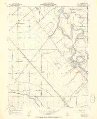
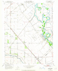
Editions of this 1952 Vernalis Map
3 editions found
Other maps of this area

1913 · Romain
USGS Topo · 1:31,680

1914 · Manteca
USGS Topo · 1:31,680

1914 · Union Island
USGS Topo · 1:31,680

1915 · Vernalis
USGS Topo · 1:31,680

1915 · Lathrop
USGS Topo · 1:31,680

1915 · Ripon
USGS Topo · 1:31,680

1915 · Westley
USGS Topo · 1:31,680

1916 · Tracy
USGS Topo · 1:31,680

1916 · Romain
USGS Topo · 1:31,680

1922 · Carbona
USGS Topo · 1:62,500