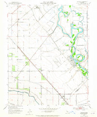
1952 Map of Vernalis
USGS Topo · Published 1965About this map
The San Joaquin River winds through the heart of this landscape, its meanders flanked by a network of levees and sloughs like Walthall Slough and Red Bridge Slough. The 1952 culture revision reveals an area defined by large-scale water management and infrastructure, from the Delta-Mendota Canal and Hetch Hetchy Aqueduct to the Deuel Vocational Institution in the north. This survey provides a window into a period of industrial agriculture and state-led development, where rail lines like the Southern Pacific and Western Pacific intersect at settlements such as Vernalis and Yarmouth. Local history is preserved in the location of the San Joaquin City (Site) and the New Jerusalem School, offering genealogists and researchers a precise look at the rural San Joaquin Valley before later 20th-century shifts.
Find a feature on this map
44 named features on this map. Tap any name to fly to it.
Don’t see what you’re looking for? This feature index may not catch every label — zoom into the map to look around manually.
Map Details
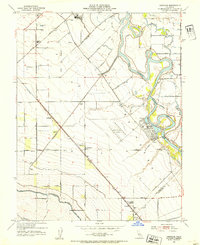
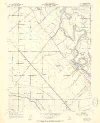
Editions of this 1952 Vernalis Map
3 editions found
Other maps of this area

1913 · Romain
USGS Topo · 1:31,680

1914 · Manteca
USGS Topo · 1:31,680

1914 · Union Island
USGS Topo · 1:31,680

1915 · Vernalis
USGS Topo · 1:31,680

1915 · Lathrop
USGS Topo · 1:31,680

1915 · Ripon
USGS Topo · 1:31,680

1915 · Westley
USGS Topo · 1:31,680

1916 · Tracy
USGS Topo · 1:31,680

1916 · Romain
USGS Topo · 1:31,680

1922 · Carbona
USGS Topo · 1:62,500