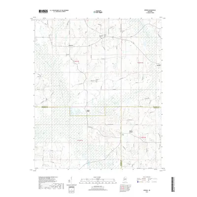
2018 Map of Vernon
USGS Topo · Published 2018About this map
Nanih Waiya sits at the heart of this landscape where Winston, Neshoba, and Kemper counties converge in eastern Mississippi. The area is defined by the complex drainage of North Waiya Creek and South Waiya Cr, which join to form the Nanih Waiya Cr as it flows south toward the Bogue Chitto. This 2018 survey reveals a rural settlement pattern deeply connected to these waterways, with small communities like Vernon and Claytown linked by a network of local roads such as Middleton RD and Clay RD.
Find a feature on this map
80 named features on this map. Tap any name to fly to it.
Don’t see what you’re looking for? This feature index may not catch every label — zoom into the map to look around manually.
Map Details
Editions of this 2018 Vernon Map
This is the sole edition of this map. No revisions or reprints were ever made.
Other maps of this area

1953 · Meridian
USGS Topo · 1:250,000

1953 · West Point
USGS Topo · 1:250,000

1957 · Meridian
USGS Topo · 1:250,000

1958 · West Point
USGS Topo · 1:250,000

1962 · Lynville
USGS Topo · 1:24,000

1962 · Vernon
USGS Topo · 1:24,000

1962 · Owl Creek
USGS Topo · 1:24,000

1962 · Preston
USGS Topo · 1:24,000

1963 · West Point
USGS Topo · 1:250,000

1965 · Meridian
USGS Topo · 1:250,000