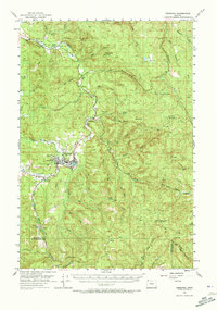
1955 Map of Vernonia
USGS Topo · Published 1957About this map
The Nehalem River winds through this mid-century landscape of logging and small-scale agriculture, anchoring the community of Vernonia. This 1955 survey illustrates a region in transition, where educational centers like the Natal School and Beaver Cr School are already marked as abandoned, reflecting the consolidation of rural districts. The town of Vernonia serves as the industrial hub, evidenced by the large Mill Pond and the presence of the S P & S railroad, which provided vital transport for the timber industry.
Find a feature on this map
65 named features on this map. Tap any name to fly to it.
Don’t see what you’re looking for? This feature index may not catch every label — zoom into the map to look around manually.
Map Details
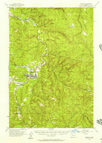
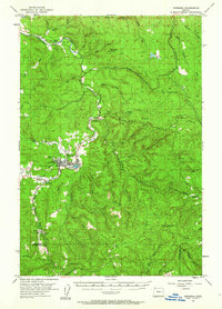
Editions of this 1955 Vernonia Map
3 editions found
Other maps of this area

1915 · Hillsboro
USGS Topo · 1:62,500

1918 · Hillsboro
USGS Topo · 1:62,500

1919 · Mayger
USGS Topo · 1:62,500

1921 · Kalama
USGS Topo · 1:62,500

1922 · St. Helens
USGS Topo · 1:62,500

1940 · Hillsboro
USGS Topo · 1:62,500

1940 · Vernonia
USGS Topo · 1:62,500

1941 · Keasey
USGS Topo · 1:62,500

1941 · St Helens
USGS Topo · 1:62,500

1941 · Timber
USGS Topo · 1:62,500