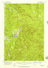
1955 Map of Vernonia
USGS Topo · Published 1963About this map
Vernonia serves as the central hub of this mid-century survey, where the Nehalem River meets several tributaries like Rock Creek and Pebble Creek. The town's industrial character is marked by the Mill Pond and the S P & S RR tracks, which follow the river valley through rugged terrain. Evidence of the area's changing rural social structure is preserved in labels for the Natal School (Aban'd) and Beaver Cr School (Aban'd), reflecting a shift away from isolated local schoolhouses toward larger districts. To the south and east, the landscape transitions into high ridges and timber country, dotted with fire management infrastructure like the Baker Point Lookout and Mansfield Lookout. Small settlements and points of interest such as Pittsburg, Treharne, and the Pioneer Cem provide specific location data for genealogists tracing families in Columbia and Washington Counties during the 1950s.
Find a feature on this map
64 named features on this map. Tap any name to fly to it.
Don’t see what you’re looking for? This feature index may not catch every label — zoom into the map to look around manually.
Map Details
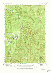
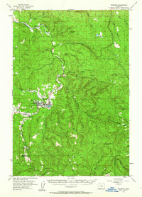
Editions of this 1955 Vernonia Map
3 editions found
Other maps of this area

1915 · Hillsboro
USGS Topo · 1:62,500

1918 · Hillsboro
USGS Topo · 1:62,500

1919 · Mayger
USGS Topo · 1:62,500

1921 · Kalama
USGS Topo · 1:62,500

1922 · St. Helens
USGS Topo · 1:62,500

1940 · Hillsboro
USGS Topo · 1:62,500

1940 · Vernonia
USGS Topo · 1:62,500

1941 · Keasey
USGS Topo · 1:62,500

1941 · St Helens
USGS Topo · 1:62,500

1941 · Timber
USGS Topo · 1:62,500