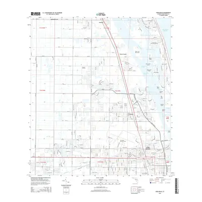
2015 Map of Vero Beach
USGS Topo · Published 2015About this map
Vero Beach and its surrounding communities along the Indian River Lagoon are defined by a complex network of coastal islands and canals. The landscape transition from the mainland settlements of Gifford and Winter Beach across the Intracoastal Waterway reveals a fragmented shoreline featuring Johns Island and the North Sister Island. A sophisticated water management system is evident in the Main Canal and N-Canal, which drain the interior toward the coast. Transportation and aviation infrastructure anchor the region, including the Vero Beach Municipal Airport, the Broocke Air Patch, and the Fec railroad corridor. The barrier island topography is punctuated by named landforms such as Pople Point and Stingray Point, providing a detailed look at the interface between the mainland and the Atlantic Ocean before modern redevelopment altered the character of the Florida coast.
Find a feature on this map
72 named features on this map. Tap any name to fly to it.
Don’t see what you’re looking for? This feature index may not catch every label — zoom into the map to look around manually.
Map Details
Editions of this 2015 Vero Beach Map
This is the sole edition of this map. No revisions or reprints were ever made.
Other maps of this area

1948 · Riomar
USGS Topo · 1:24,000

1948 · Indrio
USGS Topo · 1:24,000

1949 · Fellsmere
USGS Topo · 1:24,000

1949 · Vero Beach
USGS Topo · 1:24,000

1949 · Sebastian
USGS Topo · 1:24,000

1949 · Oslo
USGS Topo · 1:24,000

1950 · Riomar
USGS Topo · 1:24,000

1950 · Oslo
USGS Topo · 1:24,000

1950 · Indrio
USGS Topo · 1:24,000

1950 · Vero Beach
USGS Topo · 1:24,000