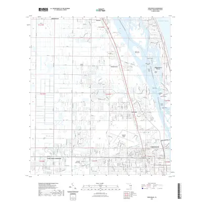
2021 Map of Vero Beach
USGS Topo · Published 2021About this map
The Indian River Lagoon and the Intracoastal Waterway dominate this coastal Florida landscape, carving a complex network of islands and narrows between the mainland and the barrier beaches. The map captures the significant expansion of the Vero Beach and Gifford areas, showcasing a dense grid of residential and commercial development that stretches west into the West Vero Corridor. Key community anchors like the Indian River State College Mueller Campus and the Vero Beach Regional Airport illustrate the modern infrastructure of this Indian River County hub.
Find a feature on this map
47 named features on this map. Tap any name to fly to it.
Don’t see what you’re looking for? This feature index may not catch every label — zoom into the map to look around manually.
Map Details
Editions of this 2021 Vero Beach Map
This is the sole edition of this map. No revisions or reprints were ever made.
Other maps of this area

1948 · Riomar
USGS Topo · 1:24,000

1948 · Indrio
USGS Topo · 1:24,000

1949 · Fellsmere
USGS Topo · 1:24,000

1949 · Vero Beach
USGS Topo · 1:24,000

1949 · Sebastian
USGS Topo · 1:24,000

1949 · Oslo
USGS Topo · 1:24,000

1950 · Riomar
USGS Topo · 1:24,000

1950 · Oslo
USGS Topo · 1:24,000

1950 · Indrio
USGS Topo · 1:24,000

1950 · Vero Beach
USGS Topo · 1:24,000