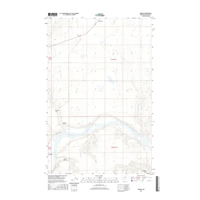
2017 Map of Verona
USGS Topo · Published 2017About this map
The Missouri River carves a deep, winding path through this central Montana landscape, serving as the primary geographical anchor for the small settlements of Verona and Virgelle. This 2017 survey illustrates the complex drainage patterns of the region, where numerous dry washes like Coal Banks Coulee, Jackson Coulee, and Rattlesnake Coulee feed into the river valley. The infrastructure here is sparse but significant for regional transit, highlighted by the Coal Banks Bridge and the historical importance of routes such as Virgelle Ferry Rd N. To the northeast, the terrain opens up near Little Sandy Cr, while the township lines of t27n r11e and t27n r12e define the agricultural and ranching grid. The map provides a contemporary look at the intersection of traditional river-based transport corridors and the modern road network defined by Broadway.
Find a feature on this map
14 named features on this map. Tap any name to fly to it.
Don’t see what you’re looking for? This feature index may not catch every label — zoom into the map to look around manually.
Map Details
Editions of this 2017 Verona Map
This is the sole edition of this map. No revisions or reprints were ever made.
Other maps of this area

1890 · Fort Benton
USGS Topo · 1:250,000

1892 · Fort Benton
USGS Topo · 1:250,000

1897 · Fort Benton
USGS Topo · 1:250,000

1906 · Lonesome
USGS Topo · 1:62,500

1919 · Big Sandy
USGS Topo · 1:125,000

1953 · Boggs Island
USGS Topo · 1:24,000

1953 · Verona
USGS Topo · 1:24,000

1953 · Big Bend School
USGS Topo · 1:24,000

1953 · Lonetree Coulee
USGS Topo · 1:24,000

1953 · Pilot Rock
USGS Topo · 1:24,000