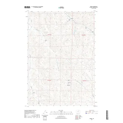
2017 Map of Verona
USGS Topo · Published 2017About this map
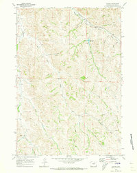
Verona sits at the northern edge of this Sheridan County landscape, where the terrain is defined by a complex network of ephemeral drainages and water management. The Burlington Reservoir serves as a primary catchment point for Beaver Cr, illustrating the importance of water storage in this part of Wyoming. The area is marked by numerous named coulees and gulches that reveal a history of local land use and naming conventions, such as Tibbets Gulch, Stout Draw, and Parker Draw.
Find a feature on this map
27 named features on this map. Tap any name to fly to it.
Don’t see what you’re looking for? This feature index may not catch every label — zoom into the map to look around manually.
Map Details
Editions of this 2017 Verona Map
This is the sole edition of this map. No revisions or reprints were ever made.
Other maps of this area

1909 · Sheridan
USGS Topo · 1:125,000

1911 · Sheridan
USGS Topo · 1:125,000

1955 · Sheridan
USGS Topo · 1:250,000

1958 · Sheridan
USGS Topo · 1:250,000

1962 · Sheridan
USGS Topo · 1:250,000

1967 · Buffalo Run Creek
USGS Topo · 1:24,000
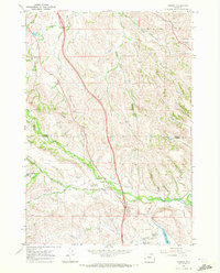
1967 · Banner
USGS Topo · 1:24,000
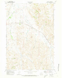
1968 · Wyarno
USGS Topo · 1:24,000
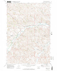
1970 · Horse Hill
USGS Topo · 1:24,000
1970 · Verona
USGS Topo · 1:24,000