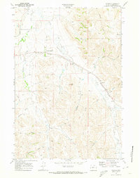
1968 Map of Wyarno
USGS Topo · Published 1973About this map
The University of Wyoming Experiment Station serves as a key agricultural landmark in this high-plains landscape east of Sheridan. The terrain is defined by a dense network of watercourses and irrigation infrastructure, including the Ninemile Ditch, Ditch No 13, and Ditch No 14, illustrating the importance of water management in this region's ranching and research operations. The Burlington Northern railroad cuts a diagonal path through the northern half of the sheet, passing through the small settlement of Wyarno. To the south, the topography becomes more pronounced around Hazel Peak, which stands above a series of drainages such as Eyechaner Draw and Wildcat Creek. Local resources and transport are further evidenced by a Gravel Pit and a designated Landing Strip, providing a clear record of the area's development during the late 1960s.
Find a feature on this map
25 named features on this map. Tap any name to fly to it.
Don’t see what you’re looking for? This feature index may not catch every label — zoom into the map to look around manually.
Map Details
Editions of this 1968 Wyarno Map
2 editions found
Other maps of this area

1909 · Sheridan
USGS Topo · 1:125,000

1911 · Sheridan
USGS Topo · 1:125,000

1955 · Sheridan
USGS Topo · 1:250,000

1958 · Sheridan
USGS Topo · 1:250,000

1962 · Sheridan
USGS Topo · 1:250,000

1967 · Buffalo Run Creek
USGS Topo · 1:24,000
1967 · Big Horn
USGS Topo · 1:24,000
1968 · Sheridan
USGS Topo · 1:24,000
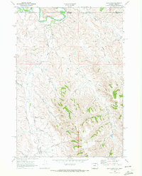
1968 · Bar N Draw
USGS Topo · 1:24,000
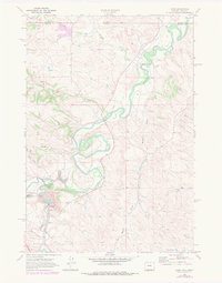
1968 · Acme
USGS Topo · 1:24,000