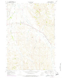
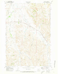
1968 Map of Wyarno
USGS Topo · Published 1978About this map
The University of Wyoming Experiment Station serves as a notable institutional landmark in this corner of Sheridan County, situated along the Burlington Northern railroad corridor. The settlement of Wyarno marks the eastern rail line where the tracks bend south, surrounded by a complex network of ephemeral drainage patterns such as Eyechaner Draw, Negro Draw, and Bates Draw.
Find a feature on this map
24 named features on this map. Tap any name to fly to it.
Don’t see what you’re looking for? This feature index may not catch every label — zoom into the map to look around manually.
Map Details
Editions of this 1968 Wyarno Map
2 editions found
Other maps of this area

1909 · Sheridan
USGS Topo · 1:125,000

1911 · Sheridan
USGS Topo · 1:125,000

1955 · Sheridan
USGS Topo · 1:250,000

1958 · Sheridan
USGS Topo · 1:250,000

1962 · Sheridan
USGS Topo · 1:250,000

1967 · Buffalo Run Creek
USGS Topo · 1:24,000
1967 · Big Horn
USGS Topo · 1:24,000
1968 · Sheridan
USGS Topo · 1:24,000
1968 · Bar N Draw
USGS Topo · 1:24,000
1968 · Wyarno
USGS Topo · 1:24,000