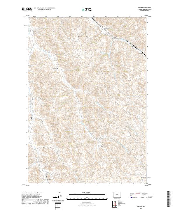
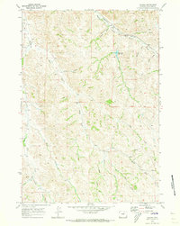
2021 Map of Verona
USGS Topo · Published 2021About this map
Verona sits at the northern edge of this Sheridan County landscape, where the high plains meet a complex network of seasonal drainages. The area is defined by the elaborate branching of the Dutch Creek system, including the E Fork Dow Prong Dutch Cr and Middle Fork Dow Prong Dutch Cr. These waterways carve deep impressions into the terrain, creating named features like Dead Indian Draw, Tibbets Gulch, and Weaver Draw.
Find a feature on this map
26 named features on this map. Tap any name to fly to it.
Don’t see what you’re looking for? This feature index may not catch every label — zoom into the map to look around manually.
Map Details
Editions of this 2021 Verona Map
This is the sole edition of this map. No revisions or reprints were ever made.
Other maps of this area

1909 · Sheridan
USGS Topo · 1:125,000

1911 · Sheridan
USGS Topo · 1:125,000

1955 · Sheridan
USGS Topo · 1:250,000

1958 · Sheridan
USGS Topo · 1:250,000

1962 · Sheridan
USGS Topo · 1:250,000

1967 · Buffalo Run Creek
USGS Topo · 1:24,000
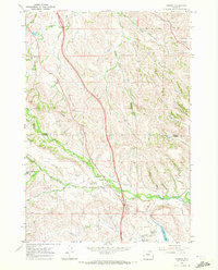
1967 · Banner
USGS Topo · 1:24,000
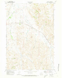
1968 · Wyarno
USGS Topo · 1:24,000
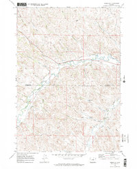
1970 · Horse Hill
USGS Topo · 1:24,000
1970 · Verona
USGS Topo · 1:24,000