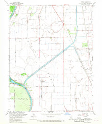
1967 Map of Verona
USGS Topo · Published 1968About this map
The confluence of the Feather River and the Sacramento River anchors this landscape in the late 1960s, defining a region where water management and agriculture are deeply intertwined. The Sutter Bypass and an extensive network of irrigation works, including the Main Canal and Cross Canal, dominate the American Basin. These engineered waterways support the surrounding farmsteads and small communities like Verona and Catlett.
Find a feature on this map
40 named features on this map. Tap any name to fly to it.
Don’t see what you’re looking for? This feature index may not catch every label — zoom into the map to look around manually.
Map Details
Editions of this 1967 Verona Map
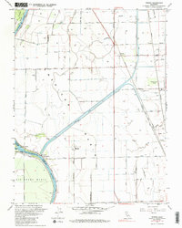
2 editions found
Other maps of this area

1891 · Sacramento
USGS Topo · 1:125,000

1892 · Sacramento
USGS Topo · 1:125,000

1893 · Sacramento
USGS Topo · 1:125,000

1902 · Fairoaks
USGS Topo · 1:62,500

1907 · Davisville
USGS Topo · 1:62,500

1910 · Sheridan
USGS Topo · 1:31,680

1910 · Knights Landing
USGS Topo · 1:31,680

1910 · Vernon
USGS Topo · 1:31,680

1910 · Nicolaus
USGS Topo · 1:31,680

1910 · Pleasant Grove
USGS Topo · 1:31,680