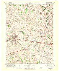
1965 Map of Versailles
USGS Topo · Published 1966About this map
Versailles serves as the focal point of this Central Kentucky landscape, where the traditional rail-and-road network meets mid-century infrastructure. The Southern Railway bisects the region, connecting smaller hubs like Shetland and Firmantown to the county seat. The map reveals a high density of civic and religious institutions that anchored local life in the 1960s, from the Margaret Hall Sch and Simmons High Sch to the Taylor Manor Nursing Home and several community churches.
Find a feature on this map
52 named features on this map. Tap any name to fly to it.
Don’t see what you’re looking for? This feature index may not catch every label — zoom into the map to look around manually.
Map Details
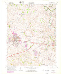
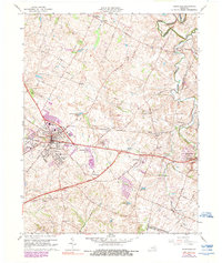
Editions of this 1965 Versailles Map
3 editions found
Other maps of this area

1905 · Harrodsburg
USGS Topo · 1:125,000

1906 · Georgetown
USGS Topo · 1:62,500

1908 · Georgetown
USGS Topo · 1:62,500

1922 · Frankfort
USGS Topo · 1:48,000

1924 · Frankfort
USGS Topo · 1:62,500

1950 · Lexington West
USGS Topo · 1:24,000

1952 · Keene
USGS Topo · 1:24,000

1952 · Nicholasville
USGS Topo · 1:24,000

1952 · Salvisa
USGS Topo · 1:24,000

1952 · Midway
USGS Topo · 1:24,000