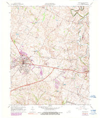
1965 Map of Versailles
USGS Topo · Published 1990About this map
Versailles serves as the focal point of this mid-century survey, surrounded by the distinctive karst topography of central Kentucky, including the notable Big Sink terrain. The landscape is defined by its transition from an agricultural past to a modernizing transport network, evidenced by the intersection of the Southern Railway and the Bluegrass Parkway. Local history and genealogy are well-preserved through numerous institutional landmarks such as the Orphanage, Taylor Manor Nursing Home, and the Childrens Health Camp near Pisgah.
Find a feature on this map
56 named features on this map. Tap any name to fly to it.
Don’t see what you’re looking for? This feature index may not catch every label — zoom into the map to look around manually.
Map Details
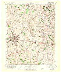
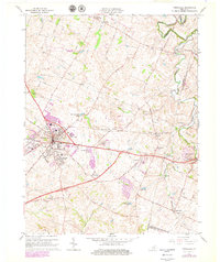
Editions of this 1965 Versailles Map
3 editions found
Other maps of this area

1905 · Harrodsburg
USGS Topo · 1:125,000

1906 · Georgetown
USGS Topo · 1:62,500

1908 · Georgetown
USGS Topo · 1:62,500

1922 · Frankfort
USGS Topo · 1:48,000

1924 · Frankfort
USGS Topo · 1:62,500

1950 · Lexington West
USGS Topo · 1:24,000

1952 · Keene
USGS Topo · 1:24,000

1952 · Nicholasville
USGS Topo · 1:24,000

1952 · Salvisa
USGS Topo · 1:24,000

1952 · Midway
USGS Topo · 1:24,000