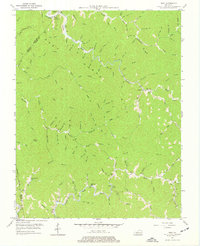
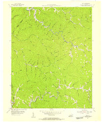
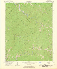
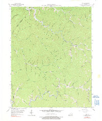
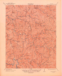
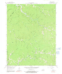
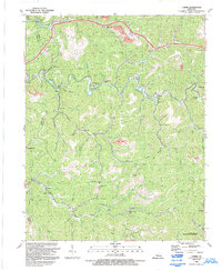
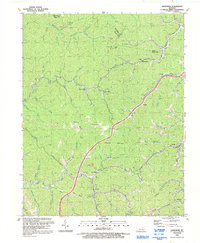
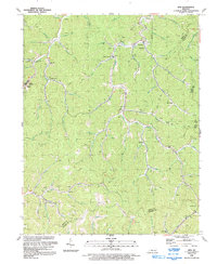
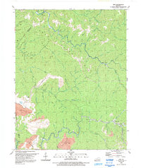
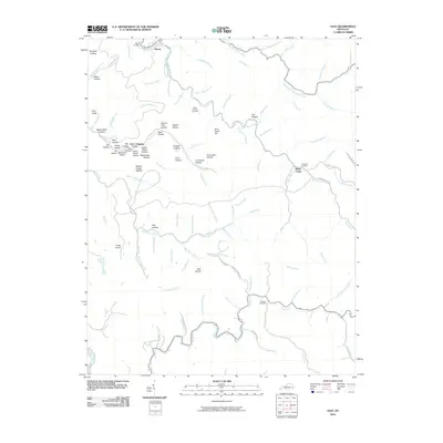
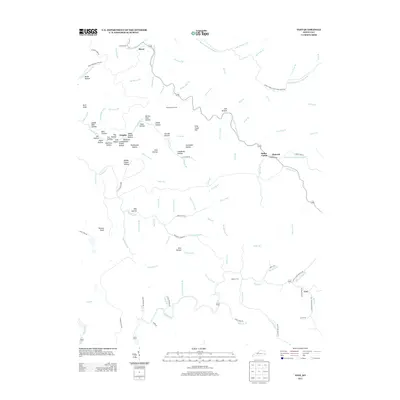
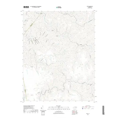
1954 Map of Vest
USGS Topo · Published 1977About this map
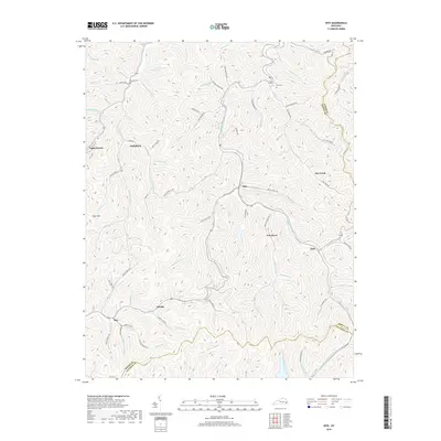
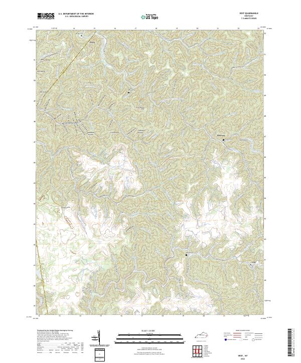
Vest and Decoy anchor this survey of the Cumberland Plateau, where the landscape is defined by the winding drainages of Quicksand Creek and its many tributaries. In the mid-1950s, this area of Knott and Breathitt Counties remained deeply rural, with social life centered on a network of small schoolhouses like Puncheon Sch and Dobson Sch that were situated along the narrow valley floors. The terrain is dominated by prominent elevations such as Potato Knob and the long ridgelines of Grey and Horse Hill.
Find a feature on this map
113 named features on this map. Tap any name to fly to it.
Don’t see what you’re looking for? This feature index may not catch every label — zoom into the map to look around manually.
Map Details
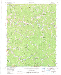
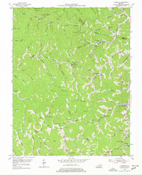
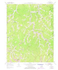
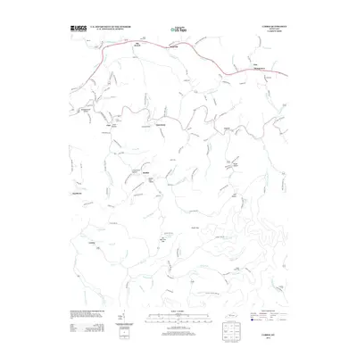
Editions of this 1954 Vest Map
5 editions found
Historical Maps of Vest Through Time
29 maps found
1914 Troublesome
Knott County, KY
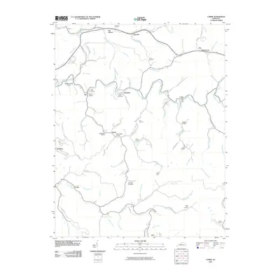
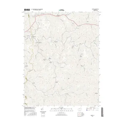
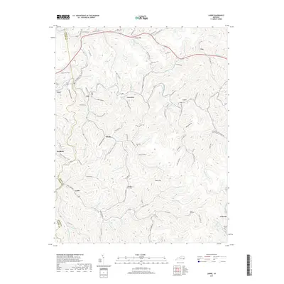
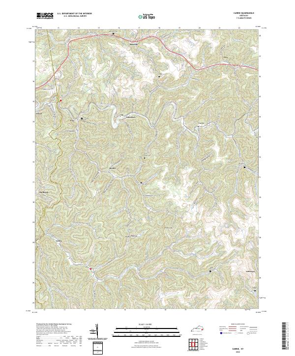
1954 Carrie
Knott County, KY
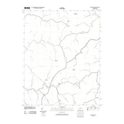
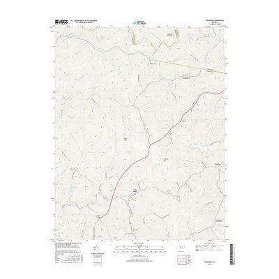
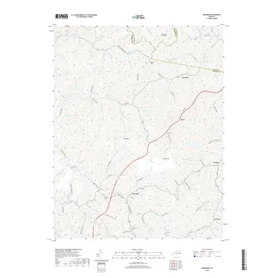
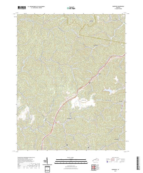
1954 Handshoe
Knott County, KY
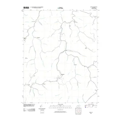
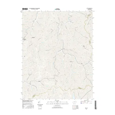
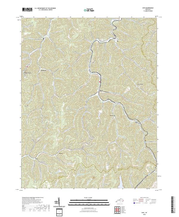
1954 Kite
Knott County, KY
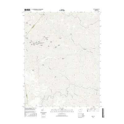
1954 Vest
Knott County, KY
1992 Carrie
Knott County, KY
1992 Handshoe
Knott County, KY
1992 Kite
Knott County, KY
1992 Vest
Knott County, KY
2010 Carrie
Knott County, KY
2010 Handshoe
Knott County, KY
2010 Kite
Knott County, KY
2010 Vest
Knott County, KY
2013 Carrie
Knott County, KY
2013 Handshoe
Knott County, KY
2013 Kite
Knott County, KY
2013 Vest
Knott County, KY
2016 Carrie
Knott County, KY
2016 Handshoe
Knott County, KY
2016 Kite
Knott County, KY
2016 Vest
Knott County, KY
2019 Carrie
Knott County, KY
2019 Handshoe
Knott County, KY
2019 Kite
Knott County, KY
2019 Vest
Knott County, KY
2022 Carrie
Knott County, KY
2022 Handshoe
Knott County, KY
2022 Kite
Knott County, KY
2022 Vest
Knott County, KY