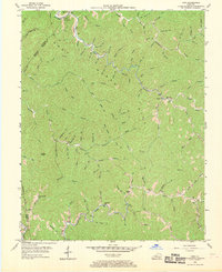
1954 Map of Vest
USGS Topo · Published 1969About this map
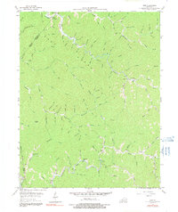
The Grey Hawk Hills dominate this portion of the Cumberland Plateau in the early 1950s, defining a landscape of deeply incised hollows and narrow ridges along the border of Breathitt, Knott, and Perry Counties. The settlement at Vest serves as a focal point in the southeast, situated near the confluence of several mountain branches, while Decoy and Elmrock anchor smaller communities further north. The map reveals a highly decentralized educational network typical of the era's mountain geography, with numerous small schools such as Decoy Sch, Dobson Sch, and Baker Sch placed to serve isolated valley populations.
Find a feature on this map
90 named features on this map. Tap any name to fly to it.
Don’t see what you’re looking for? This feature index may not catch every label — zoom into the map to look around manually.
Map Details
Editions of this 1954 Vest Map
5 editions found
Other maps of this area

1886 · Prestonsburg
USGS Topo · 1:125,000

1889 · Salyersville
USGS Topo · 1:125,000

1890 · Whitesburg
USGS Topo · 1:125,000

1891 · Hazard
USGS Topo · 1:125,000

1891 · Salyersville
USGS Topo · 1:125,000

1892 · Whitesburg
USGS Topo · 1:125,000

1892 · Prestonsburg
USGS Topo · 1:125,000

1899 · Salyersville
USGS Topo · 1:125,000

1912 · Hindman
USGS Topo · 1:48,000

1914 · Troublesome
USGS Topo · 1:62,500