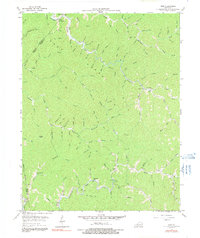
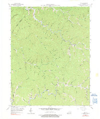
1954 Map of Vest
USGS Topo · Published 1991About this map
Vest and the surrounding hollows of eastern Kentucky are defined by a complex network of waterways feeding into Quicksand Cr and Middle Fork. This 1950s terrain reflects the dispersed, creek-bottom settlement patterns typical of the Appalachian coal country, where life centered on the local schoolhouse and family-named branches. Educational landmarks are remarkably frequent across this landscape, including Decoy Sch, Baker Sch, Dobson Sch, and Puncheon Sch. The topography is dominated by the massive ridge of Grey Horse Hill and the distinct peak of Potato Knob, illustrating the difficult travel routes between isolated communities. Many features, such as America Br and John Carpenter Fk, preserve the names of early resident families, making this a vital resource for tracing local genealogy and the vanished rural schools that once anchored these remote hillsides.
Find a feature on this map
108 named features on this map. Tap any name to fly to it.
Don’t see what you’re looking for? This feature index may not catch every label — zoom into the map to look around manually.
Map Details
Editions of this 1954 Vest Map
5 editions found
Other maps of this area

1886 · Prestonsburg
USGS Topo · 1:125,000

1889 · Salyersville
USGS Topo · 1:125,000

1890 · Whitesburg
USGS Topo · 1:125,000

1891 · Hazard
USGS Topo · 1:125,000

1891 · Salyersville
USGS Topo · 1:125,000

1892 · Whitesburg
USGS Topo · 1:125,000

1892 · Prestonsburg
USGS Topo · 1:125,000

1899 · Salyersville
USGS Topo · 1:125,000

1912 · Hindman
USGS Topo · 1:48,000

1914 · Troublesome
USGS Topo · 1:62,500