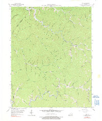
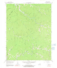
1954 Map of Vest
USGS Topo · Published 1990About this map
Decoy and Vest anchor this 1954 topographical survey of the Kentucky highlands, where the intricate drainage patterns of the Balls Fork and Quicksand Cr define the settlement geography. The landscape is characterized by narrow hollows and high points like Potato Knob and the prominent Grey Horse Hill, with habitation largely confined to the creek beds. This map is particularly valuable for genealogists, as it identifies numerous rural educational landmarks such as Decoy Sch, Dobson Sch, and Puncheon Sch that served these isolated mountain communities. The concentration of schools and the presence of places like Elmrock illustrate a social infrastructure built around natural waterways and ridges, providing a clear picture of mid-century life in the Knott County backcountry before major modernization altered the traditional footprints of these hollows.
Find a feature on this map
136 named features on this map. Tap any name to fly to it.
Don’t see what you’re looking for? This feature index may not catch every label — zoom into the map to look around manually.
Map Details
Editions of this 1954 Vest Map
5 editions found
Other maps of this area

1886 · Prestonsburg
USGS Topo · 1:125,000

1889 · Salyersville
USGS Topo · 1:125,000

1890 · Whitesburg
USGS Topo · 1:125,000

1891 · Hazard
USGS Topo · 1:125,000

1891 · Salyersville
USGS Topo · 1:125,000

1892 · Whitesburg
USGS Topo · 1:125,000

1892 · Prestonsburg
USGS Topo · 1:125,000

1899 · Salyersville
USGS Topo · 1:125,000

1912 · Hindman
USGS Topo · 1:48,000

1914 · Troublesome
USGS Topo · 1:62,500