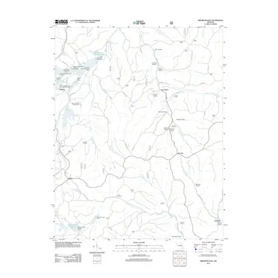
2011 Map of Viburnum East
USGS Topo · Published 2011About this map
Viburnum sits at the heart of an industrial Missouri landscape defined by the legacies of mineral extraction and heavy water management. The topography is dominated by extensive mining infrastructure, including the Old Viburnum Tailings Ponds and several specialized containment structures like the Railroad Embankment Dam and Viburnum Tailings Dam Number 5. This network of dams and reservoirs follows the path of Indian Creek and its tributaries, illustrating how the natural flow of the land was redirected for lead belt industry.
Find a feature on this map
58 named features on this map. Tap any name to fly to it.
Don’t see what you’re looking for? This feature index may not catch every label — zoom into the map to look around manually.
Map Details
Editions of this 2011 Viburnum East Map
This is the sole edition of this map. No revisions or reprints were ever made.
Other maps of this area

1906 · Potosi
USGS Topo · 1:62,500

1924 · Edgehill
USGS Topo · 1:62,500

1926 · Edgehill
USGS Topo · 1:62,500

1943 · Berryman
USGS Topo · 1:62,500

1943 · Boss
USGS Topo · 1:62,500

1945 · Berryman
USGS Topo · 1:62,500

1946 · Boss
USGS Topo · 1:62,500

1949 · Rolla
USGS Topo · 1:250,000

1953 · Rolla
USGS Topo · 1:250,000

1954 · Rolla
USGS Topo · 1:250,000