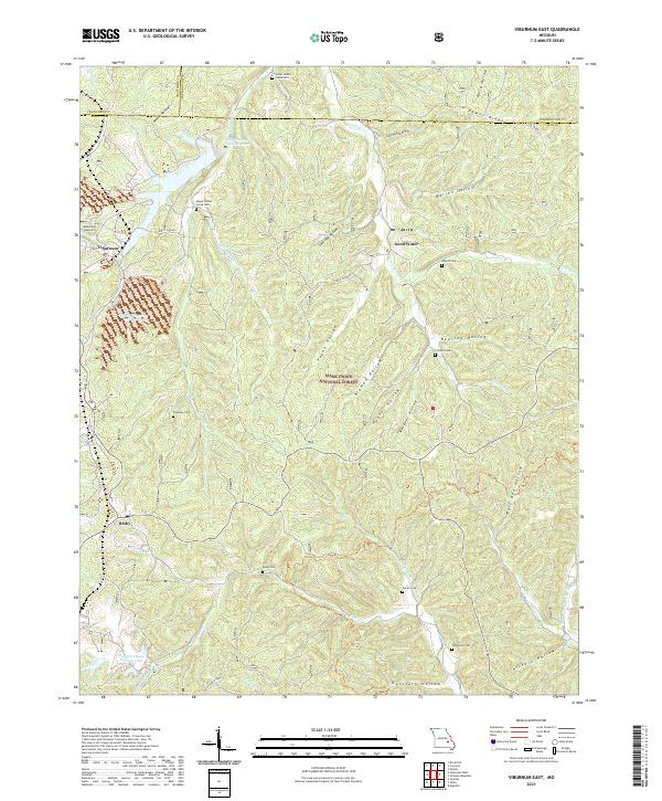
2021 Map of Viburnum East
USGS Topo · Published 2021About this map
The Lead Belt of the Missouri Ozarks defines the landscape here, centered on the mining town of Viburnum and neighboring Bixby. This terrain is marked by industrial water management features like the Old Viburnum Tailings Pond and Magmont Main Tailings Lake, reflecting the region's deep ties to mineral extraction. In contrast to these large-scale operations, the map documents numerous small family and community burial grounds, such as Upper Indian Creek Cem and Crocker Cem, providing essential data for genealogists tracking local history.
Find a feature on this map
54 named features on this map. Tap any name to fly to it.
Don’t see what you’re looking for? This feature index may not catch every label — zoom into the map to look around manually.
Map Details
Editions of this 2021 Viburnum East Map
This is the sole edition of this map. No revisions or reprints were ever made.
Other maps of this area

1906 · Potosi
USGS Topo · 1:62,500

1924 · Edgehill
USGS Topo · 1:62,500

1926 · Edgehill
USGS Topo · 1:62,500

1943 · Berryman
USGS Topo · 1:62,500

1943 · Boss
USGS Topo · 1:62,500

1945 · Berryman
USGS Topo · 1:62,500

1946 · Boss
USGS Topo · 1:62,500

1949 · Rolla
USGS Topo · 1:250,000

1953 · Rolla
USGS Topo · 1:250,000

1954 · Rolla
USGS Topo · 1:250,000