
1962 Map of Vicksburg West
USGS Topo · Published 1963About this map
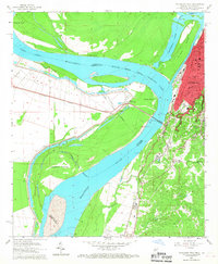
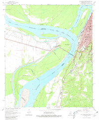
Vicksburg occupies the high eastern bluffs of this Mississippi River study, overlooking a complex network of waterways that define the border between Warren County and Madison Parish. The river's historical meanders have created features like De Soto Island and Centennial Lake, separated from the main channel by the Centennial Cutoff. In the early 1960s, the industrial and educational character of the city is evident through the presence of All Saints College, St Francis Sch, and Carr Jr High Sch, alongside critical infrastructure like the Waterworks and Gaging Station. West across the water, the settlement of Delta sits at the junction of the Illinois Central railroad and the Yazoo River Diversion Canal. To the south, the landscape transitions into the bayous, where Mt Pilgrim Ch and the Glass-McIntyre Sch serve the more rural areas near Cedars.
Find a feature on this map
34 named features on this map. Tap any name to fly to it.
Don’t see what you’re looking for? This feature index may not catch every label — zoom into the map to look around manually.
Map Details
Editions of this 1962 Vicksburg West Map
3 editions found
Other maps of this area

1909 · Millikens Bend
USGS Topo · 1:24,000

1909 · Mound
USGS Topo · 1:24,000

1910 · Mound
USGS Topo · 1:31,680

1918 · Vicksburg
USGS Topo · 1:62,500

1939 · Talla Bena
USGS Topo · 1:62,500

1939 · Yokena
USGS Topo · 1:62,500

1941 · Vicksburg
USGS Topo · 1:62,500

1955 · Jackson
USGS Topo · 1:250,000

1961 · Jackson
USGS Topo · 1:250,000

1962 · Jackson
USGS Topo · 1:250,000