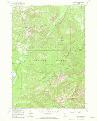
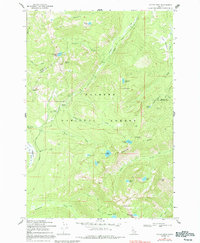
1969 Map of Victor Peak
USGS Topo · Published 1971About this map
Payette National Forest land defines this high-elevation Idaho landscape, where the Idaho Co Valley Co line marks the northern boundary of the survey. The terrain is defined by a series of high ridges and glacial basins, anchored by Victor Peak and Storm Peak in the southeast. A network of high mountain water bodies, including Josephine Lake, Nethker Lake, and Anns Lake, provides the headwaters for several drainage systems.
Find a feature on this map
40 named features on this map. Tap any name to fly to it.
Don’t see what you’re looking for? This feature index may not catch every label — zoom into the map to look around manually.
Map Details
Editions of this 1969 Victor Peak Map
5 editions found
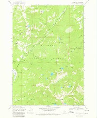
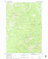
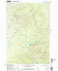
Other maps of this area

1938 · Riggins
USGS Topo · 1:96,000

1945 · Riggins
USGS Topo · 1:125,000

1955 · Grangeville
USGS Topo · 1:250,000

1956 · Burgdorf
USGS Topo · 1:62,500

1956 · Elk City
USGS Topo · 1:250,000

1959 · Grangeville
USGS Topo · 1:250,000

1960 · Elk City
USGS Topo · 1:250,000

1963 · Granite Lake
USGS Topo · 1:24,000

1963 · Black Tip
USGS Topo · 1:24,000

1963 · Hershey Point
USGS Topo · 1:24,000