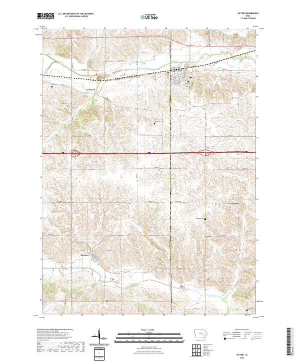
2022 Map of Victor
USGS Topo · Published 2022About this map
Victor serves as the primary hub along the Poweshiek Co Iowa Co line, established where a grid of rural avenues meets the northern drainage of Big Bear Creek. The landscape transition from the town's residential streets, such as Washington St and Williams St, into the surrounding agricultural sections is marked by a concentration of cemeteries that trace the area's early settlement. For genealogists, the map preserves the locations of several burial grounds, including the Old Victor Pioneer Cem, Gwin Cem, and Calvary Cem.
Find a feature on this map
57 named features on this map. Tap any name to fly to it.
Don’t see what you’re looking for? This feature index may not catch every label — zoom into the map to look around manually.
Map Details
Editions of this 2022 Victor Map
This is the sole edition of this map. No revisions or reprints were ever made.
Other maps of this area

1954 · Des Moines
USGS Topo · 1:250,000

1956 · Des Moines
USGS Topo · 1:250,000

1957 · Des Moines
USGS Topo · 1:250,000

1965 · Ladora
USGS Topo · 1:24,000

1968 · Deep River
USGS Topo · 1:24,000

1968 · Brooklyn
USGS Topo · 1:24,000

1968 · Belle Plaine SW
USGS Topo · 1:24,000

1968 · Victor
USGS Topo · 1:24,000
1968 · Williamsburg NW
USGS Topo · 1:24,000

1968 · Hartwick
USGS Topo · 1:24,000