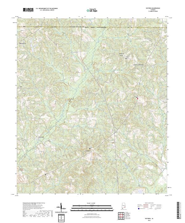
2024 Map of Victoria
USGS Topo · Published 2024About this map
The boundary between Pike and Coffee counties runs through the northern reaches of this rural Alabama landscape, where agriculture and small communities define the local geography. The settlement of Victoria stands as a central point, supported by the Victoria Cem and a network of county roads like Co RD 223 that connect it to the surrounding countryside. This area is characterized by a high density of family-named landmarks and historical burial sites, including Perdue Cem, Hawhill Cem, and Chestnut Grove Cem near the community of Chestnut Grove.
Find a feature on this map
59 named features on this map. Tap any name to fly to it.
Don’t see what you’re looking for? This feature index may not catch every label — zoom into the map to look around manually.
Map Details
Editions of this 2024 Victoria Map
This is the sole edition of this map. No revisions or reprints were ever made.
Other maps of this area

1942 · Enterprise
USGS Topo · 1:125,000

1948 · Brundidge
USGS Topo · 1:62,500

1950 · Enterprise
USGS Topo · 1:62,500

1950 · Brundidge
USGS Topo · 1:62,500

1953 · Andalusia
USGS Topo · 1:250,000

1953 · Dothan
USGS Topo · 1:250,000

1954 · Dothan
USGS Topo · 1:250,000

1955 · Dothan
USGS Topo · 1:250,000

1957 · Andalusia
USGS Topo · 1:250,000

1960 · Brundidge
USGS Topo · 1:24,000