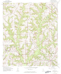
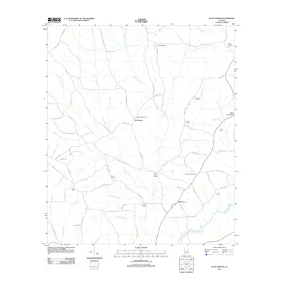
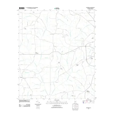
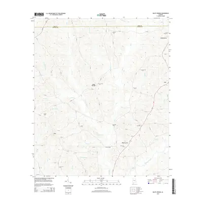
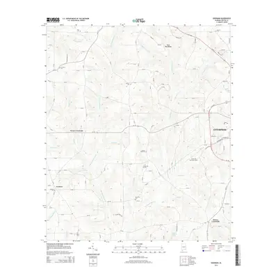
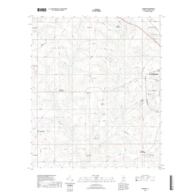
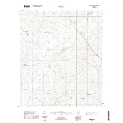
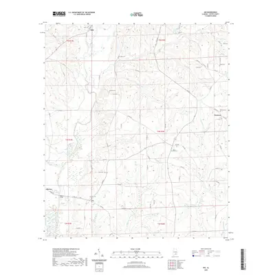
1960 Map of Victoria
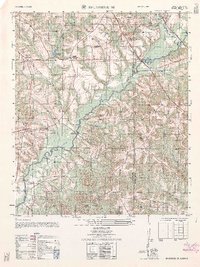
USGS Topo · Published 1981About this map
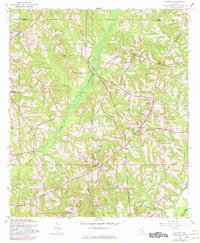
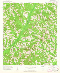
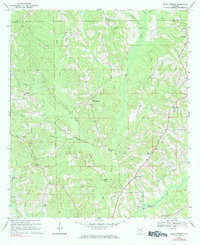
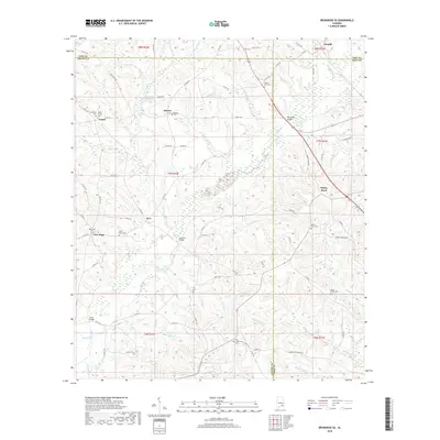
Whitewater Creek carves a broad valley through the center of this terrain along the Pike Co Coffee Co border during the early 1960s. The rural landscape is defined by its small, scattered settlements and crossroads, with Victoria and Chestnut Grove serving as local community hubs. This era shows a transition in the local economy, as older industrial sites like Lowry Mill on the creek bank appear alongside newer infrastructure such as a prominent Substation near Clowers Crossroads.
Find a feature on this map
18 named features on this map. Tap any name to fly to it.
Don’t see what you’re looking for? This feature index may not catch every label — zoom into the map to look around manually.
Map Details
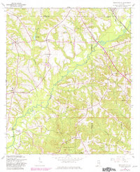
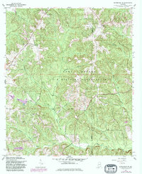
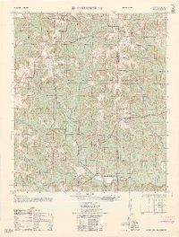
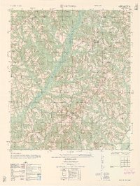
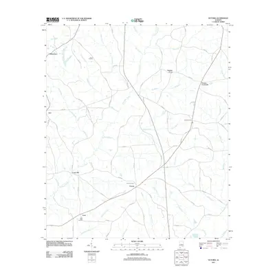
Editions of this 1960 Victoria Map
2 editions found
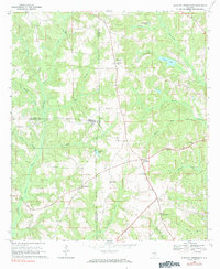
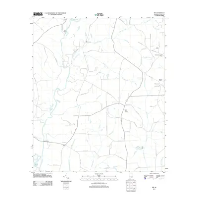
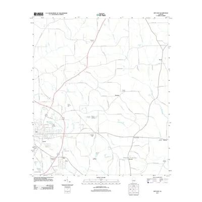
Historical Maps of Chestnut Grove Through Time
51 maps found
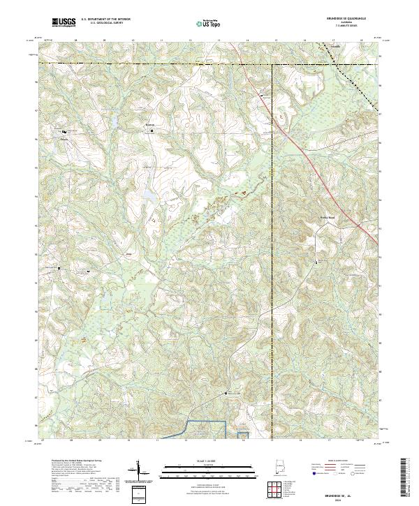
1960 Brundidge SE
Coffee County, AL
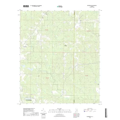
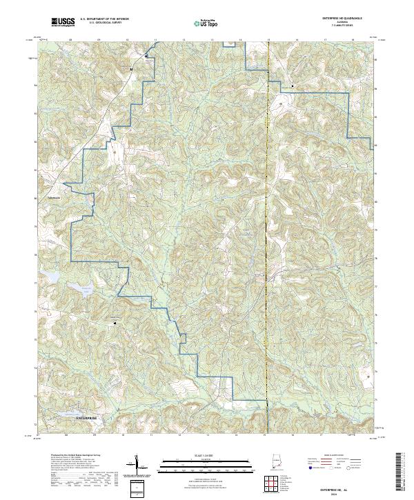
1960 Enterprise NE
Coffee County, AL
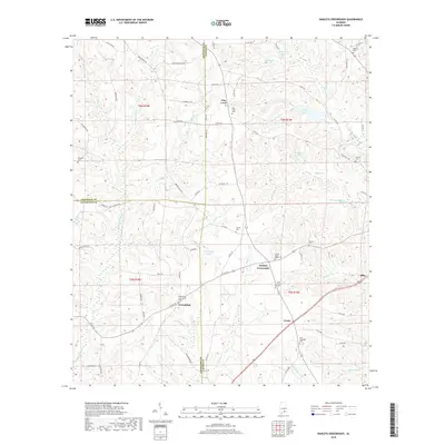
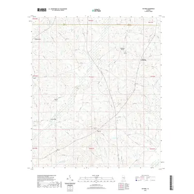
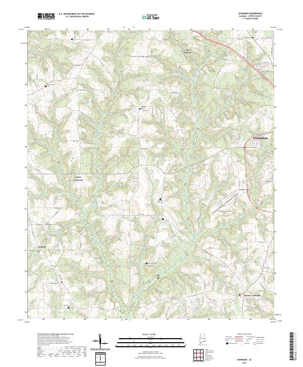
1960 Goodman
Coffee County, AL
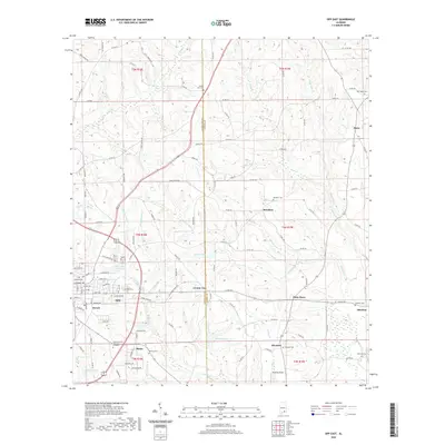
1960 Victoria
Coffee County, AL
1962 Brundidge SE
Coffee County, AL
1962 Enterprise NE
Coffee County, AL
1962 Victoria
Coffee County, AL
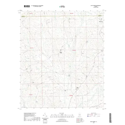
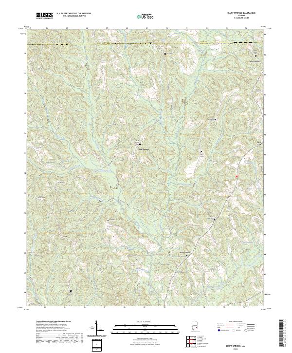
1968 Bluff Springs
Coffee County, AL
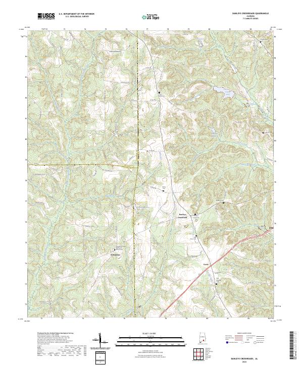
1968 Danleys Crossroads
Coffee County, AL
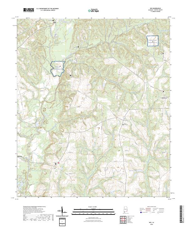
1968 Ino
Coffee County, AL
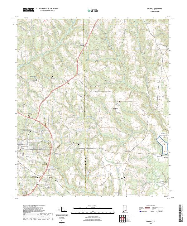
1968 Opp East
Coffee County, AL
2011 Bluff Springs
Coffee County, AL
2011 Brundidge SE
Coffee County, AL
2011 Danleys Crossroads
Coffee County, AL
2011 Enterprise NE
Coffee County, AL
2011 Goodman
Coffee County, AL
2011 Ino
Coffee County, AL
2011 Opp East
Coffee County, AL
2011 Victoria
Coffee County, AL
2014 Bluff Springs
Coffee County, AL
2014 Brundidge SE
Coffee County, AL
2014 Danleys Crossroads
Coffee County, AL
2014 Enterprise NE
Coffee County, AL
2014 Goodman
Coffee County, AL
2014 Ino
Coffee County, AL
2014 Opp East
Coffee County, AL
2014 Victoria
Coffee County, AL
2018 Bluff Springs
Coffee County, AL
2018 Brundidge SE
Coffee County, AL
2018 Danleys Crossroads
Coffee County, AL
2018 Enterprise NE
Coffee County, AL
2018 Goodman
Coffee County, AL
2018 Ino
Coffee County, AL
2018 Opp East
Coffee County, AL
2018 Victoria
Coffee County, AL

2020 Bluff Springs
Coffee County, AL
2020 Brundidge SE
Coffee County, AL
2020 Danleys Crossroads
Coffee County, AL
2020 Enterprise NE
Coffee County, AL
2020 Goodman
Coffee County, AL
2020 Ino
Coffee County, AL
2020 Opp East
Coffee County, AL
2020 Victoria
Coffee County, AL
2024 Bluff Springs
Coffee County, AL
2024 Brundidge SE
Coffee County, AL
2024 Danleys Crossroads
Coffee County, AL
2024 Enterprise NE
Coffee County, AL
2024 Goodman
Coffee County, AL
2024 Ino
Coffee County, AL
2024 Opp East
Coffee County, AL
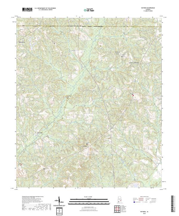
2024 Victoria
Coffee County, AL