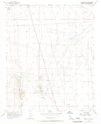
1956 Map of Victorville NW
USGS Topo · Published 1966About this map
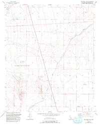
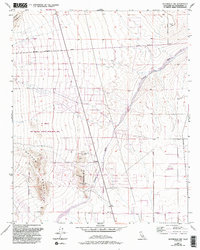
The Shadow Mountains dominate this high desert landscape, serving as a hub of mining activity during the mid-1950s. Surveyed with aerial photography and planetable techniques, the map reveals a terrain defined by mineral extraction, most notably at the Red Raven Mine. Scattered throughout the foothills are numerous Shafts, Prospects, and a Tunnel, indicating a period of intense exploratory interest in this portion of San Bernardino County. Drainage across the arid flats is funneled through the expansive Fremont Wash, which cuts a broad path northeastward across the desert floor.
Find a feature on this map
16 named features on this map. Tap any name to fly to it.
Don’t see what you’re looking for? This feature index may not catch every label — zoom into the map to look around manually.
Map Details
Editions of this 1956 Victorville NW Map
6 editions found
Other maps of this area

1932 · Barstow
USGS Topo · 1:125,000

1934 · Barstow
USGS Topo · 1:125,000

1937 · Shadow Mountains
USGS Topo · 1:48,000

1937 · Kramer
USGS Topo · 1:48,000

1942 · Kramer
USGS Topo · 1:62,500

1942 · Shadow Mountains
USGS Topo · 1:62,500

1947 · Red Buttes
USGS Topo · 1:24,000

1953 · San Bernardino
USGS Topo · 1:250,000
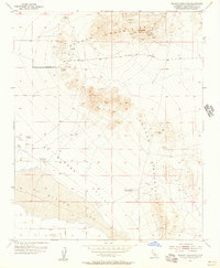
1955 · Shadow Mountains
USGS Topo · 1:24,000
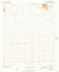
1955 · Shadow Mountains SE
USGS Topo · 1:24,000