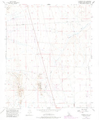
1956 Map of Victorville NW
USGS Topo · Published 1983About this map
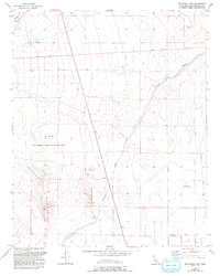
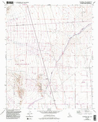
Shadow Mountains and the Shadow Hills dominate this high desert landscape during the mid-1950s. The region is marked by significant extractive history, primarily centered on the Red Raven Mine and the nearby Raven Mine. A dense concentration of Shafts, Prospect sites, and a Pit indicate a period of active exploration and small-scale operations across the terrain. Drainage across the alluvial fan is defined by the wandering path of Fremont Wash, which cuts through the arid plains. Transportation is limited to a few established routes such as Helendale Road and various unnamed tracks and a Jeep Trail that provided access to remote mining claims. This map captures the industrial and geological character of the Mojave landscape before modern expansion, where desert survival depended on the scattered Well and Wells noted throughout the flats.
Find a feature on this map
15 named features on this map. Tap any name to fly to it.
Don’t see what you’re looking for? This feature index may not catch every label — zoom into the map to look around manually.
Map Details
Editions of this 1956 Victorville NW Map
6 editions found
Other maps of this area

1932 · Barstow
USGS Topo · 1:125,000

1934 · Barstow
USGS Topo · 1:125,000

1937 · Shadow Mountains
USGS Topo · 1:48,000

1937 · Kramer
USGS Topo · 1:48,000

1942 · Kramer
USGS Topo · 1:62,500

1942 · Shadow Mountains
USGS Topo · 1:62,500

1947 · Red Buttes
USGS Topo · 1:24,000

1953 · San Bernardino
USGS Topo · 1:250,000
1955 · Shadow Mountains
USGS Topo · 1:24,000
1955 · Shadow Mountains SE
USGS Topo · 1:24,000