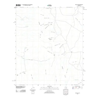
2010 Map of Vieja Pass
USGS Topo · Published 2010About this map
Sierra Vieja dominates the high desert landscape of this West Texas region, where water sources like Joho Spring and Vieja Spring have long dictated the patterns of human movement and settlement. The map illustrates a network of deep drainage systems including Vieja Canyon, Rough Canyon, and Soldier Canyon that cut through prominent landforms such as North Mesa and Newton Mesa.
Find a feature on this map
37 named features on this map. Tap any name to fly to it.
Don’t see what you’re looking for? This feature index may not catch every label — zoom into the map to look around manually.
Map Details
Editions of this 2010 Vieja Pass Map
This is the sole edition of this map. No revisions or reprints were ever made.
Other maps of this area

1892 · Chispa
USGS Topo · 1:125,000

1895 · Chispa
USGS Topo · 1:125,000

1896 · San Carlos
USGS Topo · 1:125,000

1897 · Chispa
USGS Topo · 1:125,000

1959 · Marfa
USGS Topo · 1:250,000

1965 · Marfa
USGS Topo · 1:250,000
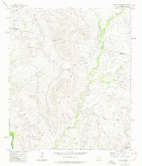
1972 · Soldier Spring
USGS Topo · 1:24,000

1972 · Chispa
USGS Topo · 1:24,000
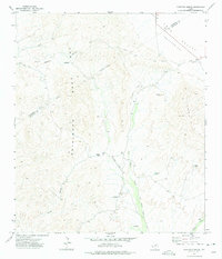
1972 · Ninetysix Ranch
USGS Topo · 1:24,000
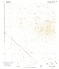
1978 · Dowman Canyon
USGS Topo · 1:24,000