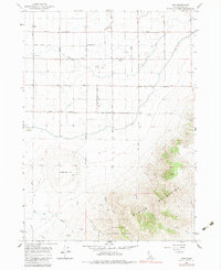
1964 Map of View
USGS Topo · Published 1983About this map
The settlement of View serves as the focal point for this mid-century survey of Idaho's Cassia County, where the agricultural plains meet the rising slopes of the Albion Mountains. A network of irrigation features like Snipe Gulch Drain and various canals supports the local farming economy, while community life is anchored by landmarks such as the Unity Church, the Grange Hall, and the View Cemetery. Names like Marchant and Rasmussen appear near established well sites, suggesting the importance of water access for these local families.
Find a feature on this map
28 named features on this map. Tap any name to fly to it.
Don’t see what you’re looking for? This feature index may not catch every label — zoom into the map to look around manually.
Map Details
Editions of this 1964 View Map
3 editions found
Other maps of this area

1954 · Pocatello
USGS Topo · 1:250,000

1958 · Pocatello
USGS Topo · 1:250,000

1964 · Rupert SE
USGS Topo · 1:24,000

1964 · View
USGS Topo · 1:24,000

1964 · Kenyon
USGS Topo · 1:24,000

1964 · Rupert SW
USGS Topo · 1:24,000

1964 · Burley SE
USGS Topo · 1:24,000

1968 · Marion SE
USGS Topo · 1:24,000

1968 · Mount Harrison
USGS Topo · 1:24,000

1968 · Albion
USGS Topo · 1:24,000