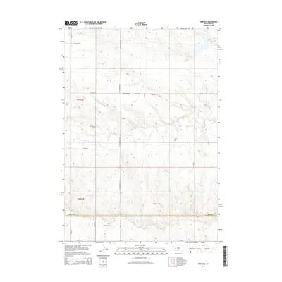
2015 Map of Viewfield
USGS Topo · Published 2015About this map
Viewfield is situated in a high plains landscape where the northern edge of the Black Hills region transitions into the wide drainage basins of western South Dakota. This 2015 USGS survey documents the rural character of the area, defined largely by the intersection of the Meade and Pennington county boundary line. The terrain is marked by a series of draws and ridges that feed toward Curlew Lake in the northeastern corner of the quadrangle. The map details a network of section-line roads, including Curlew Road and Elk Creek Road, which serve as the primary infrastructure for the scattered homesteads and ranches that characterize this part of the state. The layout reflects the enduring influence of the Public Land Survey System, with township and range designations like t3n r10e and t2n r11e framing the geographic organization of these rural communities.
Find a feature on this map
7 named features on this map. Tap any name to fly to it.
Don’t see what you’re looking for? This feature index may not catch every label — zoom into the map to look around manually.
Map Details
Editions of this 2015 Viewfield Map
This is the sole edition of this map. No revisions or reprints were ever made.
Other maps of this area

1953 · Viewfield
USGS Topo · 1:24,000

1953 · Hereford SE
USGS Topo · 1:24,000

1953 · New Underwood
USGS Topo · 1:24,000

1953 · New Underwood SW
USGS Topo · 1:24,000

1953 · Hereford SW
USGS Topo · 1:24,000
1953 · New Underwood NW
USGS Topo · 1:24,000

1953 · Rapid City
USGS Topo · 1:250,000

1954 · Elm Springs SW
USGS Topo · 1:24,000

1957 · Rapid City
USGS Topo · 1:250,000
1957 · Owanka NW
USGS Topo · 1:24,000