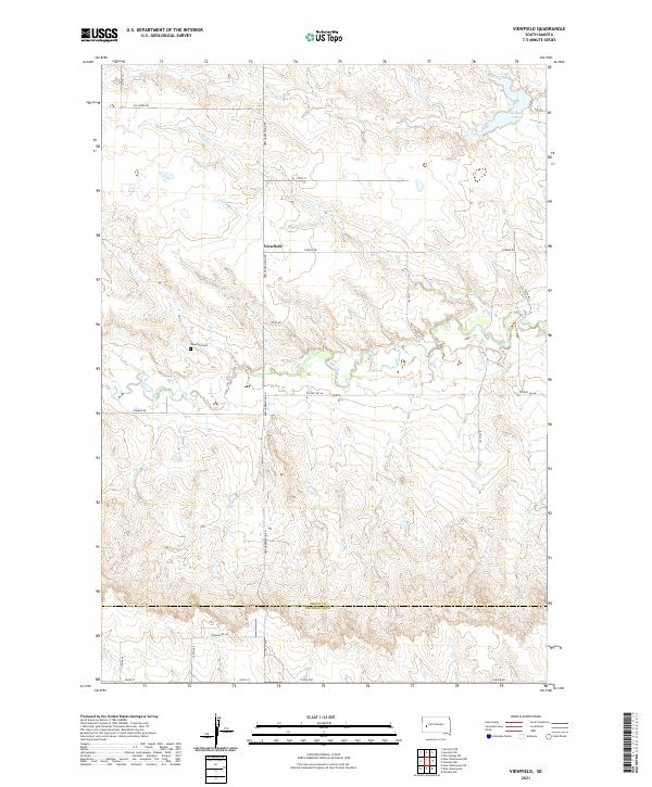
2021 Map of Viewfield
USGS Topo · Published 2021About this map
Viewfield serves as the central point of reference in this rural landscape near the border of Meade and Pennington counties. The settlement is defined by its small cluster of infrastructure and the nearby Viewfield Cem, which remains a significant genealogical site for the local community. The terrain is deeply etched by the seasonal watercourses of Elk Creek and Dry Cr, flowing through a complex of ravines and draws typical of the South Dakota high plains.
Find a feature on this map
27 named features on this map. Tap any name to fly to it.
Don’t see what you’re looking for? This feature index may not catch every label — zoom into the map to look around manually.
Map Details
Editions of this 2021 Viewfield Map
This is the sole edition of this map. No revisions or reprints were ever made.
Other maps of this area

1953 · Viewfield
USGS Topo · 1:24,000

1953 · Hereford SE
USGS Topo · 1:24,000

1953 · New Underwood
USGS Topo · 1:24,000

1953 · New Underwood SW
USGS Topo · 1:24,000

1953 · Hereford SW
USGS Topo · 1:24,000
1953 · New Underwood NW
USGS Topo · 1:24,000

1953 · Rapid City
USGS Topo · 1:250,000

1954 · Elm Springs SW
USGS Topo · 1:24,000

1957 · Rapid City
USGS Topo · 1:250,000
1957 · Owanka NW
USGS Topo · 1:24,000