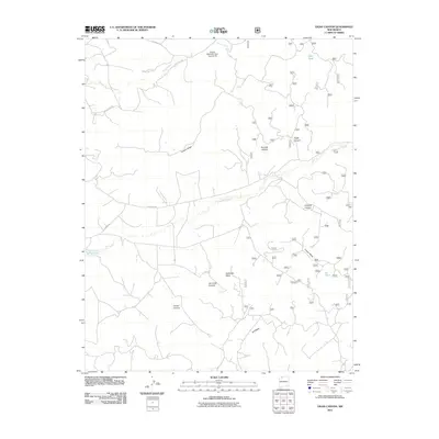
2011 Map of Vigas Canyon
USGS Topo · Published 2011About this map
Candelaria Waterhole sits in the southwestern reaches of this high-desert landscape, a notable landmark in a territory defined by deep drainage networks and expansive mesas. The topography is dominated by massive flat-topped features like B S Mesa, Cereza Mesa, and Jaramillo Mesa, which are dissected by numerous winding canyons such as Vigas Canyon and Jaramillo Canyon. Water management is central to the land's utility, evidenced by the Encino Detention Dam Number 85 along Muñoz Creek and smaller livestock or utility points like Deer Tank and BS Tank. This 2011 survey illustrates a sparsely populated region of Rio Arriba County where transport is limited to a grid of county routes, including County Rd-518 and Co Road 366, supporting the ranching and resource management needs of the high plateau.
Find a feature on this map
20 named features on this map. Tap any name to fly to it.
Don’t see what you’re looking for? This feature index may not catch every label — zoom into the map to look around manually.
Map Details
Editions of this 2011 Vigas Canyon Map
This is the sole edition of this map. No revisions or reprints were ever made.
Other maps of this area

1889 · Largo
USGS Topo · 1:250,000

1895 · Largo
USGS Topo · 1:250,000

1954 · Aztec
USGS Topo · 1:250,000

1958 · Aztec
USGS Topo · 1:250,000

1962 · Aztec
USGS Topo · 1:250,000

1963 · Lapis Point
USGS Topo · 1:24,000

1963 · Schmitz Ranch
USGS Topo · 1:24,000

1963 · Fourmile Canyon
USGS Topo · 1:24,000

1963 · Gobernador
USGS Topo · 1:24,000

1963 · Gonzales Mesa
USGS Topo · 1:24,000