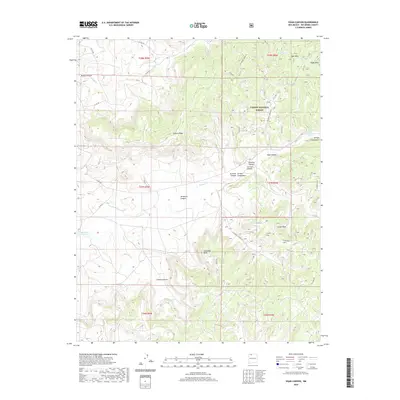
2020 Map of Vigas Canyon
USGS Topo · Published 2020About this map
Vigas Canyon and the high plateaus of Vigas Mesa define this portion of the Carson National Forest in Rio Arriba County. The landscape is characterized by a network of drainage systems and flat-topped landforms, including Jaramillo Mesa and Cereza Mesa, which rise above deep incisions like Cereza Canyon. Water sources are critical points of interest in this arid environment, marked by sites such as the Candelaria Waterhole, Tecolote Spring, and Jaramillo Spring. Transportation is limited to a sparse network of county roads including Co RD 496 and Co RD 518, which navigate the complex topography of Tuckers Ridge and the various arroyos. This map captures the remote, high-elevation character of northern New Mexico, where geographic features are often named for local families and natural landmarks.
Find a feature on this map
34 named features on this map. Tap any name to fly to it.
Don’t see what you’re looking for? This feature index may not catch every label — zoom into the map to look around manually.
Map Details
Editions of this 2020 Vigas Canyon Map
This is the sole edition of this map. No revisions or reprints were ever made.
Other maps of this area

1889 · Largo
USGS Topo · 1:250,000

1895 · Largo
USGS Topo · 1:250,000

1954 · Aztec
USGS Topo · 1:250,000

1958 · Aztec
USGS Topo · 1:250,000

1962 · Aztec
USGS Topo · 1:250,000

1963 · Lapis Point
USGS Topo · 1:24,000

1963 · Schmitz Ranch
USGS Topo · 1:24,000

1963 · Fourmile Canyon
USGS Topo · 1:24,000

1963 · Gobernador
USGS Topo · 1:24,000

1963 · Gonzales Mesa
USGS Topo · 1:24,000