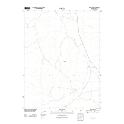
2011 Map of Vigus Butte
USGS Topo · Published 2011About this map
Reese River defines the central axis of this Great Basin landscape, winding through a wide valley floor as it flows northward toward Italian Creek. The 2011 survey documents a sparsely populated stretch of Lander County where human presence is marked primarily by small ranching outposts and infrastructure. To the east of the river, Racetrack Ranch sits near the base of the rising highlands, while further south, the settlement of Ledlie anchors the riverbank near the intersection of several local routes. The prominent landmark of Vigus Butte provides a clear topographical reference point between the river and the western drainages, illustrating the characteristic isolation of Nevada's high-desert ranching country where the management of water and distance remains the primary driver of development.
Find a feature on this map
5 named features on this map. Tap any name to fly to it.
Don’t see what you’re looking for? This feature index may not catch every label — zoom into the map to look around manually.
Map Details
Editions of this 2011 Vigus Butte Map
This is the sole edition of this map. No revisions or reprints were ever made.
Other maps of this area

1955 · Millett
USGS Topo · 1:250,000

1956 · Austin
USGS Topo · 1:62,500

1959 · Millett
USGS Topo · 1:250,000

1969 · Yankee Blade
USGS Topo · 1:24,000

1969 · Vigus Butte NE
USGS Topo · 1:24,000

1969 · Vigus Butte
USGS Topo · 1:24,000

1969 · Vigus Butte NW
USGS Topo · 1:24,000

1969 · Mount Airy NE
USGS Topo · 1:24,000

1969 · Gandolfo Canyon
USGS Topo · 1:24,000

1969 · Mount Airy Mesa
USGS Topo · 1:24,000