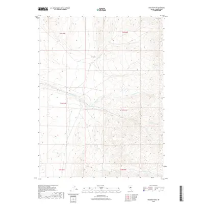
2018 Map of Vigus Butte NE
USGS Topo · Published 2018About this map
Alex Canyon and Bernd Canyon dominate the high-elevation terrain of this Lander County landscape, where water sources are vital landmarks in an arid environment. The map highlights a series of isolated water points, including Alex Spring, China Spring, and Cornin Spring, which historically served as essential stops for travel and livestock in the high desert. The drainage system is defined by the Silver Cr and its northern branch, the N Fork Silver Cr, alongside Italian Cr to the south. This 2018 survey reveals the persistent importance of named springs and seasonal creek beds in defining the geography and navigation of central Nevada's mountain ranges.
Find a feature on this map
14 named features on this map. Tap any name to fly to it.
Don’t see what you’re looking for? This feature index may not catch every label — zoom into the map to look around manually.
Map Details
Editions of this 2018 Vigus Butte NE Map
This is the sole edition of this map. No revisions or reprints were ever made.
Other maps of this area

1926 · Roberts Mountains
USGS Topo · 1:250,000

1929 · Roberts Mountains
USGS Topo · 1:250,000

1955 · Millett
USGS Topo · 1:250,000

1956 · Mount Callaghan
USGS Topo · 1:62,500

1956 · Hall Creek
USGS Topo · 1:62,500

1959 · Millett
USGS Topo · 1:250,000

1969 · Manhattan Mtn
USGS Topo · 1:24,000

1969 · Joe Eason Mtn
USGS Topo · 1:24,000

1969 · Yankee Blade
USGS Topo · 1:24,000

1969 · Vigus Butte NE
USGS Topo · 1:24,000